
San Salvador: what to expect
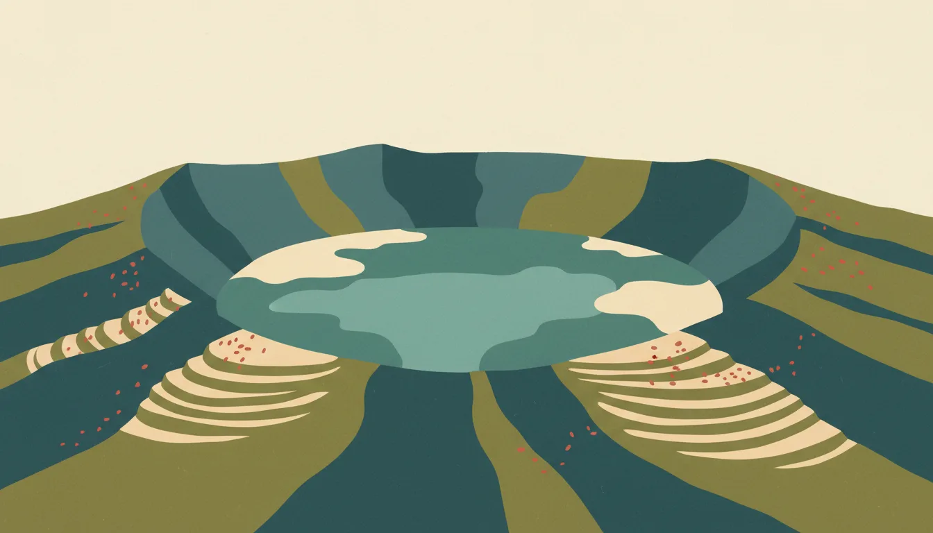
The historic centre has been restored around the cathedral, the National Palace and the Rosario church, while the western districts hold the museums, restaurants and the drive up El Boquerón crater. This city guide groups the destination into six useful areas so the stay works on the ground, not only on a country map.
Is this your trip?
Who San Salvador is for
Food travellers
The historic centre has been restored around the cathedral, the National Palace and the Rosario church, while the western districts hold the museums, restaurants and the drive up El Boquerón crater.
Travellers with 2–3 days
That window gives San Salvador enough room for one anchor area and one contrasting cluster per day.
Hotels, museums and dining
Zona Rosa and San Benito and Escalón make that interest practical rather than a country-level promise.
Area-led planners
Six fixed clusters make it easier to choose a base and avoid repeated cross-destination transfers.
Maybe not for you: A compressed checklist is the weak version of San Salvador. Treat the suggested stay as time on the ground: weather, timed entry, ferries or mountain roads can remove half a day.
Season by season
When to visit San Salvador
December–April, adjusted for the coast. Rounded tropical-seasonal planning normals: warm year-round with a clear dry and green-season rhythm. Conditions can still change sharply by elevation, coast and exposure, so use the chart for route timing and the current forecast for the day itself.
- Best
Dry season
December–April
Reliable mornings and easier roads, with peak prices and dust in exposed areas.
- Good
Early green
May–July
Lush landscapes and afternoon rain often make a strong value window.
- Mixed
Wet peak
August–October
Heavy rain can reshape roads, rivers and sea conditions.
- Good
Transition
November
Rain eases unevenly before high season fully returns.
Weather · monthly normals
Rounded tropical-seasonal planning normals: warm year-round with a clear dry and green-season rhythm. Values are rounded planning normals rather than a live forecast.
Do fewer things better
Things to do in San Salvador
A short, ordered set of experiences with the timing or planning catch that makes each one work.
- 1
Start with Centro Histórico
Centro Histórico
Restored plazas with Romero's tomb, El Rosario church and the National Library
- 2
Walk Zona Rosa and San Benito without stacking it
Zona Rosa and San Benito
Western district with MARTE and the anthropology museum
- 3
Use Escalón for residential comfort and restaurants
Escalón
Leafy avenue district with hotels and shopping
- 4
Give El Boquerón a deliberate half-day
El Boquerón
Park at the rim of San Salvador volcano above the city
- 5
See Santa Tecla outside peak hours
Santa Tecla
Neighbouring city with a pedestrian Paseo El Carmen
- 6
Keep Joya de Cerén and San Andrés weather-flexible
Joya de Cerén and San Andrés
Buried farming village and ceremonial centre half an hour west
Treat the suggested stay as time on the ground: weather, timed entry, ferries or mountain roads can remove half a day.
Area by area
The neighbourhoods of San Salvador
A real map at local-city scale: enough geography to choose a base, compare areas and group a day. Numbered places match the notes below.
| Area | What it is like | Why go |
|---|---|---|
1 Centro Histórico cathedral and National Palace | Restored plazas with Romero's tomb, El Rosario church and the National Library | Use Centro Histórico when cathedral and National Palace matters more than crossing the whole destination. |
2 Zona Rosa and San Benito hotels, museums and dining | Western district with MARTE and the anthropology museum | Use Zona Rosa and San Benito when hotels, museums and dining matters more than crossing the whole destination. |
3 Escalón residential comfort and restaurants | Leafy avenue district with hotels and shopping | Use Escalón when residential comfort and restaurants matters more than crossing the whole destination. |
4 El Boquerón volcano crater | Park at the rim of San Salvador volcano above the city | Use El Boquerón when volcano crater matters more than crossing the whole destination. |
5 Santa Tecla evening walk and cafés | Neighbouring city with a pedestrian Paseo El Carmen | Use Santa Tecla when evening walk and cafés matters more than crossing the whole destination. |
6 Joya de Cerén and San Andrés Maya sites | Buried farming village and ceremonial centre half an hour west | Use Joya de Cerén and San Andrés when Maya sites matters more than crossing the whole destination. |
Choose the base, then the hotel
Where to stay in San Salvador
For most first visits: Centro Histórico for cathedral and National Palace.
Centro Histórico
Restored plazas with Romero's tomb, El Rosario church and the National Library Choose it when that trade-off should shape mornings and evenings.
Zona Rosa and San Benito
Western district with MARTE and the anthropology museum Choose it when that trade-off should shape mornings and evenings.
Escalón
Leafy avenue district with hotels and shopping Choose it when that trade-off should shape mornings and evenings.
El Boquerón
Park at the rim of San Salvador volcano above the city Choose it when that trade-off should shape mornings and evenings.
Order with a point of view
What to eat in San Salvador
Local food is more useful as an area decision than as a checklist of famous dishes.
- 01
Pupusas with curtido
Centro Histórico
Stuffed corn or rice tortillas with fermented cabbage slaw and tomato salsa are eaten at any hour from a pupusería griddle
- 02
Yuca frita con chicharrón
Zona Rosa and San Benito
Fried cassava with pork and curtido is the market and roadside plate from San Salvador to the coast
- 03
Mariscada and coastal seafood
Escalón
Creamy seafood soup, ceviche and grilled fish belong to La Libertad, El Tunco and the eastern bays
- 04
Desayuno típico
El Boquerón
Eggs, fried plantain, refried beans, cheese and crema with tortillas is the breakfast that sets up a volcano day
- 05
Juayúa weekend food fair
Santa Tecla
Grilled meats, frog legs, seafood and sweets fill the plaza every Saturday and Sunday on the Ruta de las Flores
Useful on the ground
Local tips for San Salvador
Plan the transfer, not only the distance
Treat the suggested stay as time on the ground: weather, timed entry, ferries or mountain roads can remove half a day.
CA-4 and a tourist card
El Salvador shares a 90-day entry area with Guatemala, Honduras and Nicaragua; some nationalities pay a tourist card fee on arrival by air. Confirm current rules, which have changed several times recently.
US dollars, small bills
The dollar is the currency; carry small notes because change for $50 or $100 is scarce outside cities. ATMs are common in towns and at the coast; cards work in hotels and most restaurants but not at pupuserías.
Tigo or Claro data
Prepaid SIMs are sold at the airport and in any town; 4G covers the coast and highlands well, with gaps on volcano trails and in the eastern mangroves. Google Maps is reliable for roads.
Type A and B sockets, 120 V
North American flat-pin sockets at 120 V, 60 Hz; power is stable in cities and occasionally cuts at the coast during storms.
Common questions
Quick answers about San Salvador
- When is the best time to visit San Salvador?
- December–April, adjusted for the coast. Rounded tropical-seasonal planning normals: warm year-round with a clear dry and green-season rhythm. Conditions can still change sharply by elevation, coast and exposure, so use the chart for route timing and the current forecast for the day itself.
- How many days do you need in San Salvador?
- 2–3 days. The historic centre has been restored around the cathedral, the National Palace and the Rosario church, while the western districts hold the museums, restaurants and the drive up El Boquerón crater. This city guide groups the destination into six useful areas so the stay works on the ground, not only on a country map.
- Where should you stay in San Salvador?
- Centro Histórico for cathedral and National Palace. Restored plazas with Romero's tomb, El Rosario church and the National Library Choose it when that trade-off should shape mornings and evenings.
Keep building the route
San Salvador is part of El Salvador
Use the country guide for visa, money, long-distance transport and the route between cities. Then compare the other worked-out stops below.