

Amboseli: what to expect
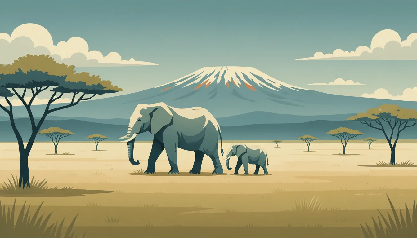
Amboseli is about large-tusked elephant herds against the mountain, best seen at dawn before cloud builds. Two nights are enough; the swamps, dust and views carry it without a long stay. This travel base guide groups the destination into six useful areas so the stay works on the ground, not only on a country map.
Is this your trip?
Who Amboseli is for
Wildlife travellers
Amboseli is about large-tusked elephant herds against the mountain, best seen at dawn before cloud builds. Two nights are enough; the swamps, dust and views carry it without a long stay.
Travellers with 2 days
That window gives Amboseli enough room for one anchor area and one contrasting cluster per day.
Panorama over the pan
Observation Hill and Kimana & eastern gate make that interest practical rather than a country-level promise.
Area-led planners
Six fixed clusters make it easier to choose a base and avoid repeated cross-destination transfers.
Maybe not for you: A compressed checklist is the weak version of Amboseli. Treat the suggested stay as time on the ground: weather, timed entry, ferries or mountain roads can remove half a day.
Season by season
When to visit Amboseli
The locally drier months; conditions vary by coast. Rounded equatorial planning normals: heat, humidity and rain in every month, with local rather than four-season shifts. Conditions can still change sharply by elevation, coast and exposure, so use the chart for route timing and the current forecast for the day itself.
- Best
Drier window
Varies locally
Lower monthly rain improves roads, water visibility and longer outdoor days.
- Good
Shoulder
Varies locally
Mixed sun and heavy showers usually still support a flexible itinerary.
- Mixed
Wetter window
Varies locally
Humidity, rough water and road delays matter more than small temperature changes.
- Good
Year-round
All months
Start early, protect electronics and keep one weather-flexible day in every base.
Weather · monthly normals
Rounded equatorial planning normals: heat, humidity and rain in every month, with local rather than four-season shifts. Values are rounded planning normals rather than a live forecast.
Do fewer things better
Things to do in Amboseli
A short, ordered set of experiences with the timing or planning catch that makes each one work.
- 1
Start with Ol Tukai & central swamps
Ol Tukai & central swamps
Lodges beside the Enkongo Narok swamp where herds feed daily
- 2
Walk Observation Hill without stacking it
Observation Hill
Short climb for Kilimanjaro views and elephant lines across the dry lake
- 3
Use Kimana & eastern gate for conservancies and budget camps
Kimana & eastern gate
Community sanctuary and lodges between the park and the Chyulu Hills
- 4
Give Chyulu Hills a deliberate half-day
Chyulu Hills
Volcanic range north-east of the park with cloud forest and long views
- 5
See Tsavo West link outside peak hours
Tsavo West link
Onward route east through lava fields to Tsavo's hippo springs
- 6
Keep Loitokitok weather-flexible
Loitokitok
Farming town on the Tanzanian border with market days
Treat the suggested stay as time on the ground: weather, timed entry, ferries or mountain roads can remove half a day.
Area by area
The areas of Amboseli
A real map at local-city scale: enough geography to choose a base, compare areas and group a day. Numbered places match the notes below.
| Area | What it is like | Why go |
|---|---|---|
1 Ol Tukai & central swamps elephants and the mountain view | Lodges beside the Enkongo Narok swamp where herds feed daily | Use Ol Tukai & central swamps when elephants and the mountain view matters more than crossing the whole destination. |
2 Observation Hill panorama over the pan | Short climb for Kilimanjaro views and elephant lines across the dry lake | Use Observation Hill when panorama over the pan matters more than crossing the whole destination. |
3 Kimana & eastern gate conservancies and budget camps | Community sanctuary and lodges between the park and the Chyulu Hills | Use Kimana & eastern gate when conservancies and budget camps matters more than crossing the whole destination. |
4 Chyulu Hills green hills and lava caves | Volcanic range north-east of the park with cloud forest and long views | Use Chyulu Hills when green hills and lava caves matters more than crossing the whole destination. |
5 Tsavo West link road to the Mzima Springs | Onward route east through lava fields to Tsavo's hippo springs | Use Tsavo West link when road to the Mzima Springs matters more than crossing the whole destination. |
6 Loitokitok border town and Kilimanjaro foothills | Farming town on the Tanzanian border with market days | Use Loitokitok when border town and Kilimanjaro foothills matters more than crossing the whole destination. |
Choose the base, then the hotel
Where to stay in Amboseli
For most first visits: Ol Tukai & central swamps for elephants and the mountain view.
Ol Tukai & central swamps
Lodges beside the Enkongo Narok swamp where herds feed daily Choose it when that trade-off should shape mornings and evenings.
Observation Hill
Short climb for Kilimanjaro views and elephant lines across the dry lake Choose it when that trade-off should shape mornings and evenings.
Kimana & eastern gate
Community sanctuary and lodges between the park and the Chyulu Hills Choose it when that trade-off should shape mornings and evenings.
Chyulu Hills
Volcanic range north-east of the park with cloud forest and long views Choose it when that trade-off should shape mornings and evenings.
Order with a point of view
What to eat in Amboseli
Local food is more useful as an area decision than as a checklist of famous dishes.
- 01
Nyama choma with kachumbari
Ol Tukai & central swamps
Grilled goat or beef with a tomato and onion salad is the social meal, best at a busy weekend choma joint
- 02
Ugali, sukuma wiki and beans
Observation Hill
The everyday plate of maize meal and greens is what most Kenyans eat and what a local hoteli serves
- 03
Swahili coast curry and pilau
Kimana & eastern gate
Coconut, cardamom and tamarind mark the coast's Indian Ocean trading history in Lamu and Mombasa
- 04
Chapati and samosa from a kiosk
Chyulu Hills
Indian-Kenyan snacks anchor breakfasts and bus stops across the country
- 05
Kenyan tea or single-origin coffee
Tsavo West link
The highlands grow both; tea with milk is the daily drink, coffee is mostly exported except in Nairobi cafés
Useful on the ground
Local tips for Amboseli
Plan the transfer, not only the distance
Treat the suggested stay as time on the ground: weather, timed entry, ferries or mountain roads can remove half a day.
Apply for the eTA before departure
The Electronic Travel Authorisation replaced visas on arrival for most nationalities; apply on the official eTA portal a few days ahead, and carry proof of onward travel and accommodation.
Shillings, M-Pesa and US dollars for fees
Cards work in Nairobi, hotels and larger camps; some park and conservancy fees are quoted in US dollars. M-Pesa mobile money is ubiquitous and worth setting up via a local SIM for small payments.
Safaricom SIM or eSIM on arrival
Safaricom coverage reaches most camps and towns; Wi-Fi in tented camps is often limited to common areas. Carry offline copies of eTA, vaccination proof and camp confirmations.
Type G sockets
Kenya uses the British three-pin type G at 240 V; camps on solar may restrict charging to certain hours, so bring a power bank.
Common questions
Quick answers about Amboseli
- When is the best time to visit Amboseli?
- The locally drier months; conditions vary by coast. Rounded equatorial planning normals: heat, humidity and rain in every month, with local rather than four-season shifts. Conditions can still change sharply by elevation, coast and exposure, so use the chart for route timing and the current forecast for the day itself.
- How many days do you need in Amboseli?
- 2 days. Amboseli is about large-tusked elephant herds against the mountain, best seen at dawn before cloud builds. Two nights are enough; the swamps, dust and views carry it without a long stay. This travel base guide groups the destination into six useful areas so the stay works on the ground, not only on a country map.
- Where should you stay in Amboseli?
- Ol Tukai & central swamps for elephants and the mountain view. Lodges beside the Enkongo Narok swamp where herds feed daily Choose it when that trade-off should shape mornings and evenings.
Keep building the route
Amboseli is part of Kenya
Use the country guide for visa, money, long-distance transport and the route between cities. Then compare the other worked-out stops below.
- NairobiHighland capital with museums, restaurants and a national park
- Maasai MaraMigration crossings and conservancy safari
- Laikipia & SamburuSemi-arid north with rhino, camels and northern species
- Diani & the south coastIndian Ocean beach and reef south of Mombasa
- LamuSwahili stone town, dhows and no cars