
Semonkong & Maletsunyane: what to expect
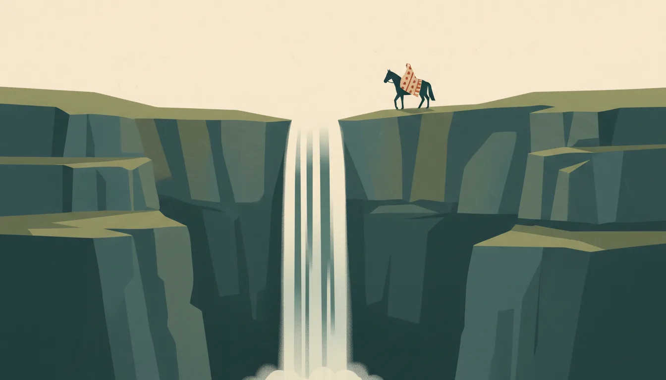
Semonkong sits at 2,275 metres beside the Maletsunyane falls, a 192-metre plunge where the lodge runs the world's longest commercial abseil; pony treks, trout and blanket-wearing riders make it the country's best-known highland stop. This travel base guide groups the destination into six useful areas so the stay works on the ground, not only on a country map.
Is this your trip?
Who Semonkong & Maletsunyane is for
Waterfalls travellers
Semonkong sits at 2,275 metres beside the Maletsunyane falls, a 192-metre plunge where the lodge runs the world's longest commercial abseil; pony treks, trout and blanket-wearing riders make it the country's best-known highland stop.
Travellers with 2–3 days
That window gives Semonkong & Maletsunyane enough room for one anchor area and one contrasting cluster per day.
192-metre drop
Maletsunyane Falls and Semonkong Lodge make that interest practical rather than a country-level promise.
Area-led planners
Six fixed clusters make it easier to choose a base and avoid repeated cross-destination transfers.
Maybe not for you: A compressed checklist is the weak version of Semonkong & Maletsunyane. Treat the suggested stay as time on the ground: weather, timed entry, ferries or mountain roads can remove half a day.
Season by season
When to visit Semonkong & Maletsunyane
December–March or June–September. Rounded Southern Alpine normals; season, elevation and pass access should drive the itinerary. Conditions can still change sharply by elevation, coast and exposure, so use the chart for route timing and the current forecast for the day itself.
- Best
Summer
December–March
Long trail days, cold fronts and peak lake demand define the main walking window.
- Good
Autumn
April–May
Colour and calmer crowds arrive before higher routes close.
- Best
Winter
June–September
Snow sports work from the right base; chains and pass closures affect road plans.
- Mixed
Spring
October–November
Thaw and unsettled weather leave some high routes between seasons.
Weather · monthly normals
Rounded Southern Alpine normals; season, elevation and pass access should drive the itinerary. Values are rounded planning normals rather than a live forecast.
Do fewer things better
Things to do in Semonkong & Maletsunyane
A short, ordered set of experiences with the timing or planning catch that makes each one work.
- 1
Start with Semonkong village
Semonkong village
Highland trading town with the lodge, stores and horses
- 2
Walk Maletsunyane Falls without stacking it
Maletsunyane Falls
Viewpoint walk and the commercial abseil beside the falls
- 3
Use Semonkong Lodge for riverside base
Semonkong Lodge
Lodge on the Maletsunyane with treks, trout and the abseil office
- 4
Give Ketane Falls a deliberate half-day
Ketane Falls
Two-day ride to a second high waterfall
- 5
See Ramabanta outside peak hours
Ramabanta
Trading post lodge halfway from Roma with village walks
- 6
Keep Thaba Putsoa weather-flexible
Thaba Putsoa
Blue mountains south-east with multi-day pony routes
Treat the suggested stay as time on the ground: weather, timed entry, ferries or mountain roads can remove half a day.
Area by area
The areas of Semonkong & Maletsunyane
A real map at local-city scale: enough geography to choose a base, compare areas and group a day. Numbered places match the notes below.
| Area | What it is like | Why go |
|---|---|---|
1 Semonkong village base and pony hire | Highland trading town with the lodge, stores and horses | Use Semonkong village when base and pony hire matters more than crossing the whole destination. |
2 Maletsunyane Falls 192-metre drop | Viewpoint walk and the commercial abseil beside the falls | Use Maletsunyane Falls when 192-metre drop matters more than crossing the whole destination. |
3 Semonkong Lodge riverside base | Lodge on the Maletsunyane with treks, trout and the abseil office | Use Semonkong Lodge when riverside base matters more than crossing the whole destination. |
4 Ketane Falls pony trek | Two-day ride to a second high waterfall | Use Ketane Falls when pony trek matters more than crossing the whole destination. |
5 Ramabanta road stop and lodge | Trading post lodge halfway from Roma with village walks | Use Ramabanta when road stop and lodge matters more than crossing the whole destination. |
6 Thaba Putsoa highland trekking | Blue mountains south-east with multi-day pony routes | Use Thaba Putsoa when highland trekking matters more than crossing the whole destination. |
Choose the base, then the hotel
Where to stay in Semonkong & Maletsunyane
For most first visits: Semonkong village for base and pony hire.
Semonkong village
Highland trading town with the lodge, stores and horses Choose it when that trade-off should shape mornings and evenings.
Maletsunyane Falls
Viewpoint walk and the commercial abseil beside the falls Choose it when that trade-off should shape mornings and evenings.
Semonkong Lodge
Lodge on the Maletsunyane with treks, trout and the abseil office Choose it when that trade-off should shape mornings and evenings.
Ketane Falls
Two-day ride to a second high waterfall Choose it when that trade-off should shape mornings and evenings.
Order with a point of view
What to eat in Semonkong & Maletsunyane
Local food is more useful as an area decision than as a checklist of famous dishes.
- 01
Papa le moroho
Semonkong village
Maize porridge with wild greens is the daily plate in every village kitchen and lodge
- 02
Motoho
Maletsunyane Falls
Fermented sorghum porridge, drunk cool, is the highland breakfast and the shepherd's staple
- 03
Likhobe
Semonkong Lodge
Boiled sorghum, beans and wheat in one pot is the hearty dish that fuels a pony day
- 04
Nama e besitsoeng
Ketane Falls
Braai meat with chakalaka at a roadside grill is the town weekend meal
- 05
Makoenya
Ramabanta
Fat cakes fried at bus ranks and markets are the cheap snack to carry over a pass
Useful on the ground
Local tips for Semonkong & Maletsunyane
Plan the transfer, not only the distance
Treat the suggested stay as time on the ground: weather, timed entry, ferries or mountain roads can remove half a day.
Visa-free for most, check border hours
Most European, North American and Commonwealth passports enter without a visa; borders such as Sani Pass and Caledonspoort have fixed daytime hours, and a South African multiple-entry visa is needed to return if your passport requires one.
Maloti at par with the rand
The loti is pegged to the South African rand and rand is accepted everywhere; carry cash for lodges, fuel and villages, as ATMs exist only in Maseru and larger towns.
Vodacom Lesotho SIM
Coverage is good in Maseru and the lowlands and patchy in the highlands; download maps and expect no signal on treks.
Type M sockets
220 V with the South African large three-pin; bring a South African adapter and a power bank for remote lodges.
Common questions
Quick answers about Semonkong & Maletsunyane
- When is the best time to visit Semonkong & Maletsunyane?
- December–March or June–September. Rounded Southern Alpine normals; season, elevation and pass access should drive the itinerary. Conditions can still change sharply by elevation, coast and exposure, so use the chart for route timing and the current forecast for the day itself.
- How many days do you need in Semonkong & Maletsunyane?
- 2–3 days. Semonkong sits at 2,275 metres beside the Maletsunyane falls, a 192-metre plunge where the lodge runs the world's longest commercial abseil; pony treks, trout and blanket-wearing riders make it the country's best-known highland stop. This travel base guide groups the destination into six useful areas so the stay works on the ground, not only on a country map.
- Where should you stay in Semonkong & Maletsunyane?
- Semonkong village for base and pony hire. Highland trading town with the lodge, stores and horses Choose it when that trade-off should shape mornings and evenings.
Keep building the route
Semonkong & Maletsunyane is part of Lesotho
Use the country guide for visa, money, long-distance transport and the route between cities. Then compare the other worked-out stops below.
- MaseruA lowland gateway with the founder's mountain nearby
- Malealea & RibanengPony treks through gorges to village rondavels
- Sani Pass & MokhotlongThe highest road in southern Africa and a frontier town
- Katse Dam & the highlandsDam wall, high passes and the Bokong plateau
- Afriski & Butha-ButheWinter snow, a forest park and the northern passes