
Nkhata Bay & the north lakeshore: what to expect
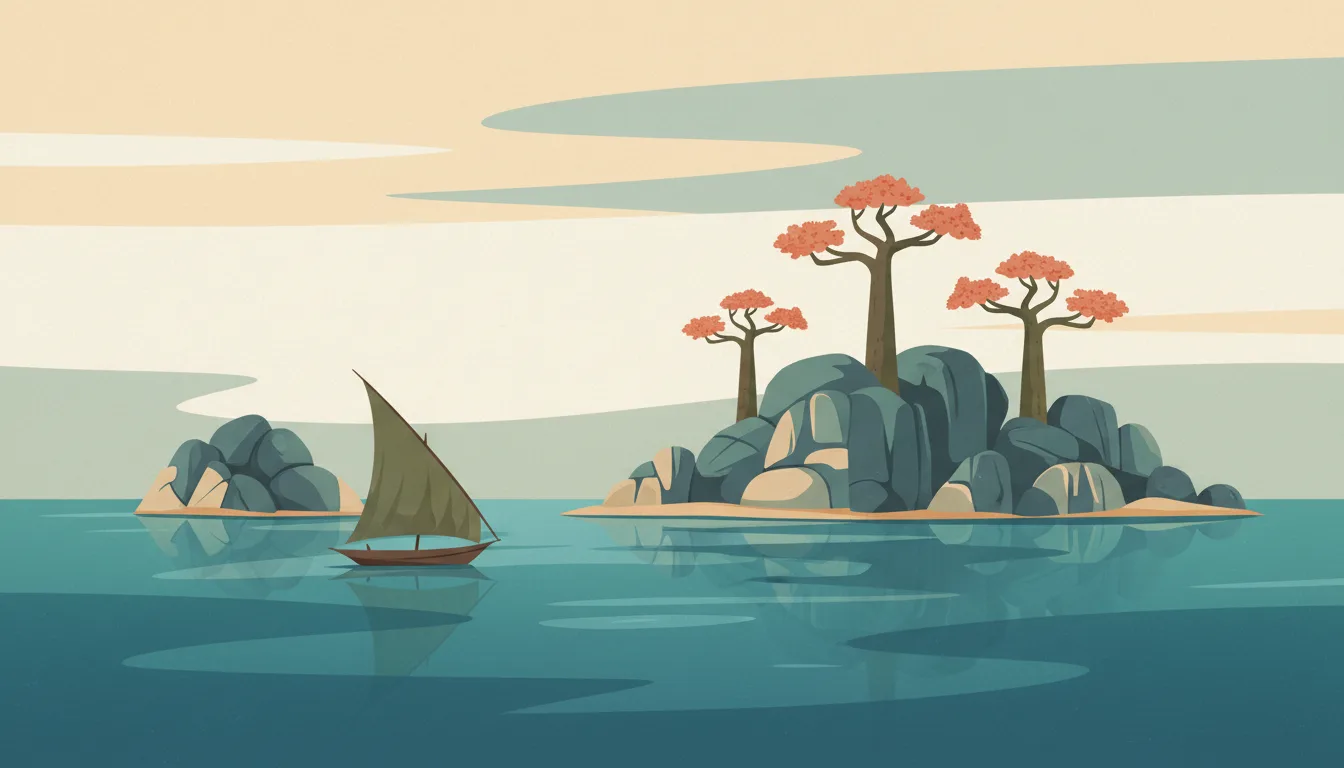
Nkhata Bay's forested headlands drop into the lake's clearest, deepest water, with cliff-top lodges, a working fishing port and the Chintheche beaches to the south. It is the base for Likoma island crossings and for Mzuzu's coffee country. This travel base guide groups the destination into six useful areas so the stay works on the ground, not only on a country map.
Is this your trip?
Who Nkhata Bay & the north lakeshore is for
Swimming travellers
Nkhata Bay's forested headlands drop into the lake's clearest, deepest water, with cliff-top lodges, a working fishing port and the Chintheche beaches to the south. It is the base for Likoma island crossings and for Mzuzu's coffee country.
Travellers with 3–4 days
That window gives Nkhata Bay & the north lakeshore enough room for one anchor area and one contrasting cluster per day.
Swimming
Chikale beach and Northern coves make that interest practical rather than a country-level promise.
Area-led planners
Six fixed clusters make it easier to choose a base and avoid repeated cross-destination transfers.
Maybe not for you: A compressed checklist is the weak version of Nkhata Bay & the north lakeshore. Treat the suggested stay as time on the ground: weather, timed entry, ferries or mountain roads can remove half a day.
Season by season
When to visit Nkhata Bay & the north lakeshore
December–April, adjusted for the coast. Rounded tropical-seasonal planning normals: warm year-round with a clear dry and green-season rhythm. Conditions can still change sharply by elevation, coast and exposure, so use the chart for route timing and the current forecast for the day itself.
- Best
Dry season
December–April
Reliable mornings and easier roads, with peak prices and dust in exposed areas.
- Good
Early green
May–July
Lush landscapes and afternoon rain often make a strong value window.
- Mixed
Wet peak
August–October
Heavy rain can reshape roads, rivers and sea conditions.
- Good
Transition
November
Rain eases unevenly before high season fully returns.
Weather · monthly normals
Rounded tropical-seasonal planning normals: warm year-round with a clear dry and green-season rhythm. Values are rounded planning normals rather than a live forecast.
Do fewer things better
Things to do in Nkhata Bay & the north lakeshore
A short, ordered set of experiences with the timing or planning catch that makes each one work.
- 1
Start with Nkhata Bay town
Nkhata Bay town
Fishing port, market and the ferry jetty
- 2
Walk Chikale beach without stacking it
Chikale beach
Sandy cove south of town with clear water
- 3
Use Northern coves for cliff-top lodges
Northern coves
Mayoka and neighbouring lodges on forested headlands
- 4
Give Chintheche a deliberate half-day
Chintheche
Long sandy shore with lodges an hour south
- 5
See Mzuzu outside peak hours
Mzuzu
Northern hub for buses, banks and Mzuzu coffee
- 6
Keep Nkhotakota weather-flexible
Nkhotakota
African Parks reserve with relocated elephant two hours south
Treat the suggested stay as time on the ground: weather, timed entry, ferries or mountain roads can remove half a day.
Area by area
The areas of Nkhata Bay & the north lakeshore
A real map at local-city scale: enough geography to choose a base, compare areas and group a day. Numbered places match the notes below.
| Area | What it is like | Why go |
|---|---|---|
1 Nkhata Bay town harbour and base | Fishing port, market and the ferry jetty | Use Nkhata Bay town when harbour and base matters more than crossing the whole destination. |
2 Chikale beach swimming | Sandy cove south of town with clear water | Use Chikale beach when swimming matters more than crossing the whole destination. |
3 Northern coves cliff-top lodges | Mayoka and neighbouring lodges on forested headlands | Use Northern coves when cliff-top lodges matters more than crossing the whole destination. |
4 Chintheche quiet beach strip | Long sandy shore with lodges an hour south | Use Chintheche when quiet beach strip matters more than crossing the whole destination. |
5 Mzuzu regional city and coffee | Northern hub for buses, banks and Mzuzu coffee | Use Mzuzu when regional city and coffee matters more than crossing the whole destination. |
6 Nkhotakota wildlife reserve | African Parks reserve with relocated elephant two hours south | Use Nkhotakota when wildlife reserve matters more than crossing the whole destination. |
Choose the base, then the hotel
Where to stay in Nkhata Bay & the north lakeshore
For most first visits: Nkhata Bay town for harbour and base.
Nkhata Bay town
Fishing port, market and the ferry jetty Choose it when that trade-off should shape mornings and evenings.
Chikale beach
Sandy cove south of town with clear water Choose it when that trade-off should shape mornings and evenings.
Northern coves
Mayoka and neighbouring lodges on forested headlands Choose it when that trade-off should shape mornings and evenings.
Chintheche
Long sandy shore with lodges an hour south Choose it when that trade-off should shape mornings and evenings.
Order with a point of view
What to eat in Nkhata Bay & the north lakeshore
Local food is more useful as an area decision than as a checklist of famous dishes.
- 01
Nsima with ndiwo
Nkhata Bay town
Maize porridge with a relish of beans, greens or fish is the everyday plate at every roadside kitchen
- 02
Chambo
Chikale beach
The lake's tilapia, grilled whole with tomato and onion, is the dish to order on any lakeshore
- 03
Usipa and kapenta
Northern coves
Small dried lake fish, fried crisp or stewed, feed the country; try them at a beach village fire
- 04
Mandasi and tea
Chintheche
Fried dough balls with sweet milky tea are the breakfast of markets and bus stops
- 05
Mbatata and thobwa
Mzuzu
Sweet-potato dishes and a fermented maize-and-millet drink are the plateau and village staples
Useful on the ground
Local tips for Nkhata Bay & the north lakeshore
Plan the transfer, not only the distance
Treat the suggested stay as time on the ground: weather, timed entry, ferries or mountain roads can remove half a day.
Check the 2024 visa waiver
Malawi scrapped visa requirements for citizens of many countries, including most of Europe and North America; if yours is not listed, apply for the e-visa before arrival.
Kwacha cash and dollar backup
ATMs work in Lilongwe, Blantyre and Mzuzu and are scarce elsewhere; carry kwacha for markets and transport and US dollars for lodges and park fees.
Airtel or TNM SIM
Coverage is decent along the lake and main roads, poor on Nyika and Likoma; buy data bundles in town and expect power cuts to interrupt lodge Wi-Fi.
Type G sockets
230 V with British three-pin sockets; power cuts are frequent, so a power bank is useful.
Common questions
Quick answers about Nkhata Bay & the north lakeshore
- When is the best time to visit Nkhata Bay & the north lakeshore?
- December–April, adjusted for the coast. Rounded tropical-seasonal planning normals: warm year-round with a clear dry and green-season rhythm. Conditions can still change sharply by elevation, coast and exposure, so use the chart for route timing and the current forecast for the day itself.
- How many days do you need in Nkhata Bay & the north lakeshore?
- 3–4 days. Nkhata Bay's forested headlands drop into the lake's clearest, deepest water, with cliff-top lodges, a working fishing port and the Chintheche beaches to the south. It is the base for Likoma island crossings and for Mzuzu's coffee country. This travel base guide groups the destination into six useful areas so the stay works on the ground, not only on a country map.
- Where should you stay in Nkhata Bay & the north lakeshore?
- Nkhata Bay town for harbour and base. Fishing port, market and the ferry jetty Choose it when that trade-off should shape mornings and evenings.
Keep building the route
Nkhata Bay & the north lakeshore is part of Malawi
Use the country guide for visa, money, long-distance transport and the route between cities. Then compare the other worked-out stops below.