
Kotor & Bay of Kotor: what to expect
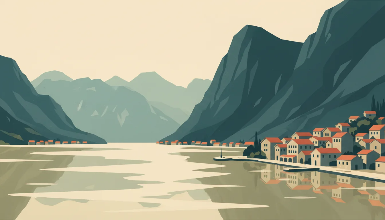
Kotor's walled town and the fortress climb above it are the country's set piece, best before nine and after six when the ships have gone. Perast, Stoliv and Prčanj along the shore repay slow days by car, bike or water taxi. This town guide groups the destination into six useful areas so the stay works on the ground, not only on a country map.
Is this your trip?
Who Kotor & Bay of Kotor is for
Heritage travellers
Kotor's walled town and the fortress climb above it are the country's set piece, best before nine and after six when the ships have gone. Perast, Stoliv and Prčanj along the shore repay slow days by car, bike or water taxi.
Travellers with 2–3 days
That window gives Kotor & Bay of Kotor enough room for one anchor area and one contrasting cluster per day.
Longer stays and swimming platforms
Dobrota and Perast make that interest practical rather than a country-level promise.
Area-led planners
Six fixed clusters make it easier to choose a base and avoid repeated cross-destination transfers.
Maybe not for you: A compressed checklist is the weak version of Kotor & Bay of Kotor. Treat the suggested stay as time on the ground: weather, timed entry, ferries or mountain roads can remove half a day.
Season by season
When to visit Kotor & Bay of Kotor
April–June and September–October. Rounded Mediterranean planning normals: hot dry summers and mild, wetter winters. Conditions can still change sharply by elevation, coast and exposure, so use the chart for route timing and the current forecast for the day itself.
- Best
Spring
March–May
Mild days, green landscapes and rising demand around holidays.
- Mixed
Summer
June–August
Hot, bright and busy; shade and early starts materially improve city days.
- Best
Autumn
September–November
Warm early weeks, softer light and rain returning later in the season.
- Good
Winter
December–February
Cooler and wetter, with shorter hours but much lighter visitor pressure.
Weather · monthly normals
Rounded Mediterranean planning normals: hot dry summers and mild, wetter winters. Values are rounded planning normals rather than a live forecast.
Do fewer things better
Things to do in Kotor & Bay of Kotor
A short, ordered set of experiences with the timing or planning catch that makes each one work.
- 1
Start with Kotor Old Town
Kotor Old Town
Venetian squares, the cathedral and the fortress climb above
- 2
Walk Dobrota without stacking it
Dobrota
Quieter shoreline north of the walls with stone captains' houses
- 3
Use Perast for baroque palaces and island boats
Perast
One-street town facing Our Lady of the Rocks
- 4
Give Prčanj & Stoliv a deliberate half-day
Prčanj & Stoliv
Southern shore of the inner bay for cycling and quiet stays
- 5
See Muo & Škaljari outside peak hours
Muo & Škaljari
Working shore across the water from the old town
- 6
Keep Herceg Novi & Lustica weather-flexible
Herceg Novi & Lustica
Stepped town at the bay mouth and a peninsula with coves
Treat the suggested stay as time on the ground: weather, timed entry, ferries or mountain roads can remove half a day.
Area by area
The areas of Kotor & Bay of Kotor
A real map at local-city scale: enough geography to choose a base, compare areas and group a day. Numbered places match the notes below.
| Area | What it is like | Why go |
|---|---|---|
1 Kotor Old Town first walk and the walls | Venetian squares, the cathedral and the fortress climb above | Use Kotor Old Town when first walk and the walls matters more than crossing the whole destination. |
2 Dobrota longer stays and swimming platforms | Quieter shoreline north of the walls with stone captains' houses | Use Dobrota when longer stays and swimming platforms matters more than crossing the whole destination. |
3 Perast baroque palaces and island boats | One-street town facing Our Lady of the Rocks | Use Perast when baroque palaces and island boats matters more than crossing the whole destination. |
4 Prčanj & Stoliv slow bay villages | Southern shore of the inner bay for cycling and quiet stays | Use Prčanj & Stoliv when slow bay villages matters more than crossing the whole destination. |
5 Muo & Škaljari local food and views | Working shore across the water from the old town | Use Muo & Škaljari when local food and views matters more than crossing the whole destination. |
6 Herceg Novi & Lustica outer bay and beaches | Stepped town at the bay mouth and a peninsula with coves | Use Herceg Novi & Lustica when outer bay and beaches matters more than crossing the whole destination. |
Choose the base, then the hotel
Where to stay in Kotor & Bay of Kotor
For most first visits: Kotor Old Town for first walk and the walls.
Kotor Old Town
Venetian squares, the cathedral and the fortress climb above Choose it when that trade-off should shape mornings and evenings.
Dobrota
Quieter shoreline north of the walls with stone captains' houses Choose it when that trade-off should shape mornings and evenings.
Perast
One-street town facing Our Lady of the Rocks Choose it when that trade-off should shape mornings and evenings.
Prčanj & Stoliv
Southern shore of the inner bay for cycling and quiet stays Choose it when that trade-off should shape mornings and evenings.
Order with a point of view
What to eat in Kotor & Bay of Kotor
Local food is more useful as an area decision than as a checklist of famous dishes.
- 01
Njeguški pršut and cheese
Kotor Old Town
Smoked ham and cheese from the Lovćen village are the cold plate to order before anything else
- 02
Bay of Kotor seafood
Dobrota
Mussels from the bay farms, black risotto and grilled fish are best at family konobas on the water
- 03
Kačamak or cicvara in the mountains
Perast
Cornmeal and cheese dishes with kajmak fuel a Durmitor day; expect large portions
- 04
Lake Skadar carp and smoked bleak
Prčanj & Stoliv
Eel, carp and tiny smoked ukljeva belong to Virpazar and the lake villages
- 05
Vranac and Krstač wine
Muo & Škaljari
The national red and the lake-region white pair with the Crmnica cellars near the lake
Useful on the ground
Local tips for Kotor & Bay of Kotor
Plan the transfer, not only the distance
Treat the suggested stay as time on the ground: weather, timed entry, ferries or mountain roads can remove half a day.
Ninety visa-free days for most
EU, UK, US, Canadian, Australian and many other passports enter without a visa for 90 days; register your stay through your accommodation as required.
Euro without the eurozone
Montenegro adopted the euro unilaterally; cards are widely accepted on the coast, less so in mountain villages, and ATMs cluster in towns.
EU roaming does not apply
Montenegro is outside EU roaming, so buy a local SIM or eSIM; signal is good on the coast and in towns and patchy on mountain roads and the lake.
Type C and F sockets
Standard European 230 V two-pin sockets; no adapter needed for European plugs.
Common questions
Quick answers about Kotor & Bay of Kotor
- When is the best time to visit Kotor & Bay of Kotor?
- April–June and September–October. Rounded Mediterranean planning normals: hot dry summers and mild, wetter winters. Conditions can still change sharply by elevation, coast and exposure, so use the chart for route timing and the current forecast for the day itself.
- How many days do you need in Kotor & Bay of Kotor?
- 2–3 days. Kotor's walled town and the fortress climb above it are the country's set piece, best before nine and after six when the ships have gone. Perast, Stoliv and Prčanj along the shore repay slow days by car, bike or water taxi. This town guide groups the destination into six useful areas so the stay works on the ground, not only on a country map.
- Where should you stay in Kotor & Bay of Kotor?
- Kotor Old Town for first walk and the walls. Venetian squares, the cathedral and the fortress climb above Choose it when that trade-off should shape mornings and evenings.
Keep building the route
Kotor & Bay of Kotor is part of Montenegro
Use the country guide for visa, money, long-distance transport and the route between cities. Then compare the other worked-out stops below.
- Budva rivieraOld town, beaches and the Sveti Stefan islet
- Durmitor & ŽabljakLimestone peaks, glacial lakes and the Tara canyon
- Lake Skadar & VirpazarThe Balkans' largest lake and its bird wetlands
- Podgorica & CetinjeThe working capital and the royal one
- Ulcinj & south coastOttoman old town, long sand and a salt-pan flamingo reserve