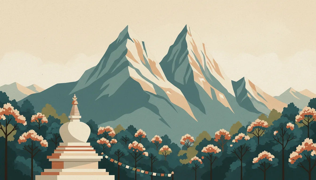


Everest region: what to expect
The Khumbu starts with a weather-bound flight to Lukla and climbs through Namche and Tengboche to Base Camp and Kala Patthar. Acclimatisation days are non-negotiable and buffer days save trips. This travel base guide groups the destination into six useful areas so the stay works on the ground, not only on a country map.
Is this your trip?
Who Everest region is for
Hiking travellers
The Khumbu starts with a weather-bound flight to Lukla and climbs through Namche and Tengboche to Base Camp and Kala Patthar. Acclimatisation days are non-negotiable and buffer days save trips.
Travellers with 12–16 days
That window gives Everest region enough room for one anchor area and one contrasting cluster per day.
Acclimatisation town
Namche Bazaar and Tengboche make that interest practical rather than a country-level promise.
Area-led planners
Six fixed clusters make it easier to choose a base and avoid repeated cross-destination transfers.
Maybe not for you: A compressed checklist is the weak version of Everest region. Treat the suggested stay as time on the ground: weather, timed entry, ferries or mountain roads can remove half a day.
Season by season
When to visit Everest region
June–September or December–March. Rounded Alpine valley normals; height changes temperature, snow cover and access much faster than distance does. Conditions can still change sharply by elevation, coast and exposure, so use the chart for route timing and the current forecast for the day itself.
- Best
Winter
December–March
Snow sports and winter transport define the trip; valley rain can still replace snow.
- Mixed
Spring
April–May
A beautiful but awkward in-between season with closures and muddy high paths.
- Best
Summer
June–August
The widest trail and lift access, with afternoon storms and peak demand.
- Good
Autumn
September–November
Clear early weeks and colour, followed by lift closures and early snow.
Weather · monthly normals
Rounded Alpine valley normals; height changes temperature, snow cover and access much faster than distance does. Values are rounded planning normals rather than a live forecast.
Do fewer things better
Things to do in Everest region
A short, ordered set of experiences with the timing or planning catch that makes each one work.
- 1
Start with Lukla
Lukla
Short sloping runway at 2,860 m where every trek begins and ends
- 2
Walk Namche Bazaar without stacking it
Namche Bazaar
Horseshoe of lodges, bakeries and a Saturday market at 3,440 m
- 3
Use Tengboche for monastery and Ama Dablam views
Tengboche
Ridge-top gompa with afternoon prayers and mountain panoramas
- 4
Give Dingboche & Pheriche a deliberate half-day
Dingboche & Pheriche
Valley villages around 4,300 m with a clinic and day-hike options
- 5
See Gorak Shep & Base Camp outside peak hours
Gorak Shep & Base Camp
Last lodges at 5,164 m for Kala Patthar sunrise and the Base Camp walk
- 6
Keep Gokyo lakes weather-flexible
Gokyo lakes
Turquoise lakes and Gokyo Ri via the Cho La pass or a separate valley
Treat the suggested stay as time on the ground: weather, timed entry, ferries or mountain roads can remove half a day.
Area by area
The areas of Everest region
A real map at local-city scale: enough geography to choose a base, compare areas and group a day. Numbered places match the notes below.
| Area | What it is like | Why go |
|---|---|---|
1 Lukla airstrip and trek start | Short sloping runway at 2,860 m where every trek begins and ends | Use Lukla when airstrip and trek start matters more than crossing the whole destination. |
2 Namche Bazaar acclimatisation town | Horseshoe of lodges, bakeries and a Saturday market at 3,440 m | Use Namche Bazaar when acclimatisation town matters more than crossing the whole destination. |
3 Tengboche monastery and Ama Dablam views | Ridge-top gompa with afternoon prayers and mountain panoramas | Use Tengboche when monastery and Ama Dablam views matters more than crossing the whole destination. |
4 Dingboche & Pheriche second acclimatisation stop | Valley villages around 4,300 m with a clinic and day-hike options | Use Dingboche & Pheriche when second acclimatisation stop matters more than crossing the whole destination. |
5 Gorak Shep & Base Camp trek objective | Last lodges at 5,164 m for Kala Patthar sunrise and the Base Camp walk | Use Gorak Shep & Base Camp when trek objective matters more than crossing the whole destination. |
6 Gokyo lakes quieter alternative | Turquoise lakes and Gokyo Ri via the Cho La pass or a separate valley | Use Gokyo lakes when quieter alternative matters more than crossing the whole destination. |
Choose the base, then the hotel
Where to stay in Everest region
For most first visits: Lukla for airstrip and trek start.
Lukla
Short sloping runway at 2,860 m where every trek begins and ends Choose it when that trade-off should shape mornings and evenings.
Namche Bazaar
Horseshoe of lodges, bakeries and a Saturday market at 3,440 m Choose it when that trade-off should shape mornings and evenings.
Tengboche
Ridge-top gompa with afternoon prayers and mountain panoramas Choose it when that trade-off should shape mornings and evenings.
Dingboche & Pheriche
Valley villages around 4,300 m with a clinic and day-hike options Choose it when that trade-off should shape mornings and evenings.
Order with a point of view
What to eat in Everest region
Local food is more useful as an area decision than as a checklist of famous dishes.
- 01
Dal bhat
Lukla
Lentils, rice, vegetable curry and pickle with free refills is the trekking meal and the reason porters say dal bhat power
- 02
Momos
Namche Bazaar
Steamed or fried dumplings with tomato achar are eaten at every altitude and every hour in Kathmandu and Pokhara
- 03
Newar feast dishes
Tengboche
Choila, bara and yomari in Patan and Bhaktapur belong to a distinct valley cuisine worth a dedicated meal
- 04
Thukpa and Sherpa stew
Dingboche & Pheriche
Noodle soups and potato stews are the sensible warm choices in Khumbu and Annapurna lodges
- 05
Butter tea, chiya and sel roti
Gorak Shep & Base Camp
Sweet milk tea punctuates road days; butter tea and rice-flour rings mark Tibetan and festival tables
Useful on the ground
Local tips for Everest region
Plan the transfer, not only the distance
Treat the suggested stay as time on the ground: weather, timed entry, ferries or mountain roads can remove half a day.
On arrival, with cash and patience
Fill in the online form within 15 days of arrival, then pay at the airport in major currency; 15-, 30- and 90-day options exist and extensions are handled in Kathmandu or Pokhara.
Cash for trails, cards in cities
ATMs cluster in Kathmandu and Pokhara and vanish on treks; carry enough rupees for the whole trail plus tips, and note that Indian 500 and 2,000 notes are not accepted.
SIM plus lodge wifi
Ncell and NTC SIMs are sold at the airport; Everest Link wifi cards work in the Khumbu, but expect slow or absent data above Namche and on most Annapurna trails.
Type C, D and M sockets
230 V; lodges charge for device charging at altitude and power cuts persist, so carry a power bank and a universal adapter.
Common questions
Quick answers about Everest region
- When is the best time to visit Everest region?
- June–September or December–March. Rounded Alpine valley normals; height changes temperature, snow cover and access much faster than distance does. Conditions can still change sharply by elevation, coast and exposure, so use the chart for route timing and the current forecast for the day itself.
- How many days do you need in Everest region?
- 12–16 days. The Khumbu starts with a weather-bound flight to Lukla and climbs through Namche and Tengboche to Base Camp and Kala Patthar. Acclimatisation days are non-negotiable and buffer days save trips. This travel base guide groups the destination into six useful areas so the stay works on the ground, not only on a country map.
- Where should you stay in Everest region?
- Lukla for airstrip and trek start. Short sloping runway at 2,860 m where every trek begins and ends Choose it when that trade-off should shape mornings and evenings.
Keep building the route
Everest region is part of Nepal
Use the country guide for visa, money, long-distance transport and the route between cities. Then compare the other worked-out stops below.