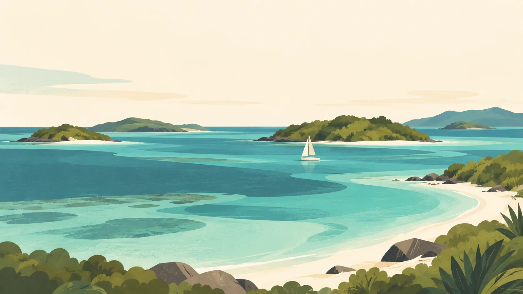


Mayreau & Tobago Cays: what to expect
Mayreau and the Cays work through responsible local stays and licensed boats. The lagoon is a protected habitat with rules for anchoring and wildlife. This travel base guide groups the destination into six useful areas so the stay works on the ground, not only on a country map.
Is this your trip?
Who Mayreau & Tobago Cays is for
Community base travellers
Mayreau and the Cays work through responsible local stays and licensed boats. The lagoon is a protected habitat with rules for anchoring and wildlife.
Travellers with 2–3 days
That window gives Mayreau & Tobago Cays enough room for one anchor area and one contrasting cluster per day.
Sheltered shore
Salt Whistle Bay and Saline Bay make that interest practical rather than a country-level promise.
Area-led planners
Six fixed clusters make it easier to choose a base and avoid repeated cross-destination transfers.
Maybe not for you: A compressed checklist is the weak version of Mayreau & Tobago Cays. Never touch wildlife, stand on coral or assume the lagoon is safe in all weather.
Season by season
When to visit Mayreau & Tobago Cays
December–April. Rounded Caribbean maritime normals: warm trade-wind weather year-round, a drier winter-spring and wetter late summer-autumn. Conditions can still change sharply by elevation, coast and exposure, so use the chart for route timing and the current forecast for the day itself.
- Best
Dry high season
December–April
Lower humidity and rain make movement and water days easiest, with winter price pressure.
- Good
Early wet season
May–June
Warm water and lighter demand come with heavier, usually short showers.
- Mixed
Storm season
July–October
Heat, humidity and Atlantic tropical systems require current checks and flexible bookings.
- Good
Transition
November
Rain and storm risk ease unevenly before the main winter season.
Weather · monthly normals
Rounded Caribbean maritime normals: warm trade-wind weather year-round, a drier winter-spring and wetter late summer-autumn. Values are rounded planning normals rather than a live forecast.
Do fewer things better
Things to do in Mayreau & Tobago Cays
A short, ordered set of experiences with the timing or planning catch that makes each one work.
- 1
Start with Mayreau village
Mayreau village
Arrange a locally run stay and current services.
- 2
Walk Salt Whistle Bay without stacking it
Salt Whistle Bay
Conditions and crowding vary with visiting boats.
- 3
Use Saline Bay for arrival
Saline Bay
Confirm current landings and onward pickup.
- 4
Give Baradal a deliberate half-day
Baradal
Keep turtle encounters passive and distant.
- 5
See Petit Rameau outside peak hours
Petit Rameau
Use approved landings and avoid habitat disturbance.
- 6
Keep Horseshoe Reef weather-flexible
Horseshoe Reef
Snorkel only with suitable conditions and local guidance.
Never touch wildlife, stand on coral or assume the lagoon is safe in all weather.
Area by area
The areas of Mayreau & Tobago Cays
A real map at local-city scale: enough geography to choose a base, compare areas and group a day. Numbered places match the notes below.
| Area | What it is like | Why go |
|---|---|---|
1 Mayreau village community base | Arrange a locally run stay and current services. | Use Mayreau village when community base matters more than crossing the whole destination. |
2 Salt Whistle Bay sheltered shore | Conditions and crowding vary with visiting boats. | Use Salt Whistle Bay when sheltered shore matters more than crossing the whole destination. |
3 Saline Bay arrival | Confirm current landings and onward pickup. | Use Saline Bay when arrival matters more than crossing the whole destination. |
4 Baradal wildlife viewing | Keep turtle encounters passive and distant. | Use Baradal when wildlife viewing matters more than crossing the whole destination. |
5 Petit Rameau marine park | Use approved landings and avoid habitat disturbance. | Use Petit Rameau when marine park matters more than crossing the whole destination. |
6 Horseshoe Reef reef context | Snorkel only with suitable conditions and local guidance. | Use Horseshoe Reef when reef context matters more than crossing the whole destination. |
Choose the base, then the hotel
Where to stay in Mayreau & Tobago Cays
For most first visits: Mayreau village for community base.
Mayreau village
Arrange a locally run stay and current services. Choose it when that trade-off should shape mornings and evenings.
Salt Whistle Bay
Conditions and crowding vary with visiting boats. Choose it when that trade-off should shape mornings and evenings.
Saline Bay
Confirm current landings and onward pickup. Choose it when that trade-off should shape mornings and evenings.
Baradal
Keep turtle encounters passive and distant. Choose it when that trade-off should shape mornings and evenings.
Order with a point of view
What to eat in Mayreau & Tobago Cays
Local food is more useful as an area decision than as a checklist of famous dishes.
- 01
Roasted breadfruit and jackfish
Mayreau village
A classic national combination ties provision farming to the sea.
- 02
Callaloo
Salt Whistle Bay
Leafy soup or stew appears in many household forms.
- 03
Bakes and saltfish
Saline Bay
A useful breakfast or snack before a boat day.
- 04
Pelau
Baradal
One-pot rice, peas and meat make an everyday meal.
- 05
Fresh local fruit
Petit Rameau
Buy seasonal produce from markets and island vendors.
Useful on the ground
Local tips for Mayreau & Tobago Cays
Plan the transfer, not only the distance
Never touch wildlife, stand on coral or assume the lagoon is safe in all weather.
Check entry before buying flights
Confirm passport-specific entry permission, any arrival form and evidence of onward travel with the official immigration service. Recheck requirements for each island when combining countries.
East Caribbean dollar and payments
Use East Caribbean dollars for buses, local food and small businesses. Cards are more common in hotels; confirm cash and ATM access before smaller-island stays.
Coverage and offline planning
Check roaming or a local SIM before leaving the arrival town. Download maps for hill roads and keep accommodation contacts offline.
Type G sockets
230 V, 50 Hz; check your accommodation for any additional socket types.
Common questions
Quick answers about Mayreau & Tobago Cays
- When is the best time to visit Mayreau & Tobago Cays?
- December–April. Rounded Caribbean maritime normals: warm trade-wind weather year-round, a drier winter-spring and wetter late summer-autumn. Conditions can still change sharply by elevation, coast and exposure, so use the chart for route timing and the current forecast for the day itself.
- How many days do you need in Mayreau & Tobago Cays?
- 2–3 days. Mayreau and the Cays work through responsible local stays and licensed boats. The lagoon is a protected habitat with rules for anchoring and wildlife. This travel base guide groups the destination into six useful areas so the stay works on the ground, not only on a country map.
- Where should you stay in Mayreau & Tobago Cays?
- Mayreau village for community base. Arrange a locally run stay and current services. Choose it when that trade-off should shape mornings and evenings.
Keep building the route
Mayreau & Tobago Cays is part of Saint Vincent and the Grenadines
Use the country guide for visa, money, long-distance transport and the route between cities. Then compare the other worked-out stops below.