
High Tatras: what to expect
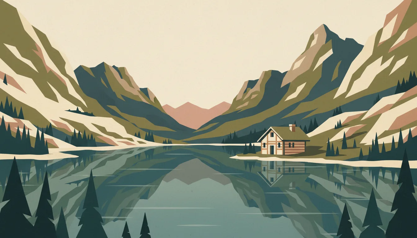
Štrbské Pleso, Starý Smokovec and Tatranská Lomnica line the electric railway beneath the range. Trails climb to tarns, saddles and huts; the season and the weather decide how high you go. This travel base guide groups the destination into six useful areas so the stay works on the ground, not only on a country map.
Is this your trip?
Who High Tatras is for
Hiking travellers
Štrbské Pleso, Starý Smokovec and Tatranská Lomnica line the electric railway beneath the range. Trails climb to tarns, saddles and huts; the season and the weather decide how high you go.
Travellers with 3–5 days
That window gives High Tatras enough room for one anchor area and one contrasting cluster per day.
Central base and funicular
Starý Smokovec and Tatranská Lomnica make that interest practical rather than a country-level promise.
Area-led planners
Six fixed clusters make it easier to choose a base and avoid repeated cross-destination transfers.
Maybe not for you: A compressed checklist is the weak version of High Tatras. Treat the suggested stay as time on the ground: weather, timed entry, ferries or mountain roads can remove half a day.
Season by season
When to visit High Tatras
June–September or December–March. Rounded Alpine valley normals; height changes temperature, snow cover and access much faster than distance does. Conditions can still change sharply by elevation, coast and exposure, so use the chart for route timing and the current forecast for the day itself.
- Best
Winter
December–March
Snow sports and winter transport define the trip; valley rain can still replace snow.
- Mixed
Spring
April–May
A beautiful but awkward in-between season with closures and muddy high paths.
- Best
Summer
June–August
The widest trail and lift access, with afternoon storms and peak demand.
- Good
Autumn
September–November
Clear early weeks and colour, followed by lift closures and early snow.
Weather · monthly normals
Rounded Alpine valley normals; height changes temperature, snow cover and access much faster than distance does. Values are rounded planning normals rather than a live forecast.
Do fewer things better
Things to do in High Tatras
A short, ordered set of experiences with the timing or planning catch that makes each one work.
- 1
Start with Štrbské Pleso
Štrbské Pleso
Highest resort with a tarn, ski jumps and trailheads at 1,350 m
- 2
Walk Starý Smokovec without stacking it
Starý Smokovec
Historic resort town with the Hrebienok funicular and rail junction
- 3
Use Tatranská Lomnica for cable car and museum
Tatranská Lomnica
Gondola to Skalnaté Pleso and the cable car to Lomnický štít
- 4
Give Popradské Pleso & Rysy a deliberate half-day
Popradské Pleso & Rysy
Lakeside hut and the trail to the country's most climbed summit
- 5
See Zelené Pleso valley outside peak hours
Zelené Pleso valley
Quieter eastern valley to a hut beneath the Jastrabia veža
- 6
Keep Poprad weather-flexible
Poprad
Rail hub, small airport and AquaCity thermal park on the plain
Treat the suggested stay as time on the ground: weather, timed entry, ferries or mountain roads can remove half a day.
Area by area
The areas of High Tatras
A real map at local-city scale: enough geography to choose a base, compare areas and group a day. Numbered places match the notes below.
| Area | What it is like | Why go |
|---|---|---|
1 Štrbské Pleso lake, lifts and grand hotels | Highest resort with a tarn, ski jumps and trailheads at 1,350 m | Use Štrbské Pleso when lake, lifts and grand hotels matters more than crossing the whole destination. |
2 Starý Smokovec central base and funicular | Historic resort town with the Hrebienok funicular and rail junction | Use Starý Smokovec when central base and funicular matters more than crossing the whole destination. |
3 Tatranská Lomnica cable car and museum | Gondola to Skalnaté Pleso and the cable car to Lomnický štít | Use Tatranská Lomnica when cable car and museum matters more than crossing the whole destination. |
4 Popradské Pleso & Rysy hut walk and Polish border peak | Lakeside hut and the trail to the country's most climbed summit | Use Popradské Pleso & Rysy when hut walk and Polish border peak matters more than crossing the whole destination. |
5 Zelené Pleso valley tarns and long day walk | Quieter eastern valley to a hut beneath the Jastrabia veža | Use Zelené Pleso valley when tarns and long day walk matters more than crossing the whole destination. |
6 Poprad transport and thermal pool | Rail hub, small airport and AquaCity thermal park on the plain | Use Poprad when transport and thermal pool matters more than crossing the whole destination. |
Choose the base, then the hotel
Where to stay in High Tatras
For most first visits: Štrbské Pleso for lake, lifts and grand hotels.
Štrbské Pleso
Highest resort with a tarn, ski jumps and trailheads at 1,350 m Choose it when that trade-off should shape mornings and evenings.
Starý Smokovec
Historic resort town with the Hrebienok funicular and rail junction Choose it when that trade-off should shape mornings and evenings.
Tatranská Lomnica
Gondola to Skalnaté Pleso and the cable car to Lomnický štít Choose it when that trade-off should shape mornings and evenings.
Popradské Pleso & Rysy
Lakeside hut and the trail to the country's most climbed summit Choose it when that trade-off should shape mornings and evenings.
Order with a point of view
What to eat in High Tatras
Local food is more useful as an area decision than as a checklist of famous dishes.
- 01
Bryndzové halušky
Štrbské Pleso
Potato dumplings with sheep's cheese and bacon are the national dish, best at a salaš dairy restaurant
- 02
Kapustnica and bean soups
Starý Smokovec
Sauerkraut soup with sausage and dried mushrooms carries winter and Christmas cooking
- 03
Oštiepok and žinčica
Tatranská Lomnica
Smoked sheep's cheese and warm whey at a mountain hut or roadside dairy are pure Tatra shepherd food
- 04
Lokše and Slovak pastries
Popradské Pleso & Rysy
Potato flatbreads with goose fat in the west, and štrúdľa and trdelník from bakeries
- 05
Slovak wine or Tatra tea
Zelené Pleso valley
Small Carpathian and Tokaj wines are underrated; Tatratea is a strong herbal liqueur, so treat it with respect
Useful on the ground
Local tips for High Tatras
Plan the transfer, not only the distance
Treat the suggested stay as time on the ground: weather, timed entry, ferries or mountain roads can remove half a day.
Schengen rules apply
EU citizens travel freely; most other visitors get 90 days in 180 across the Schengen Area. Check your passport's current status.
Euro, cards nearly everywhere
Slovakia has used the euro since 2009. Cards and contactless work in towns and huts near lifts; carry some cash for remote huts, village dairies and church donations.
EU roaming, mountain gaps
EU SIMs roam at home rates and 4G is good in valleys; expect dead zones in gorges and above the huts. Download offline maps and hut contact details.
Type C and E sockets
Slovakia uses 230 V with round two-pin sockets; the French-style earthed Type E is common, so a universal adapter is safest.
Common questions
Quick answers about High Tatras
- When is the best time to visit High Tatras?
- June–September or December–March. Rounded Alpine valley normals; height changes temperature, snow cover and access much faster than distance does. Conditions can still change sharply by elevation, coast and exposure, so use the chart for route timing and the current forecast for the day itself.
- How many days do you need in High Tatras?
- 3–5 days. Štrbské Pleso, Starý Smokovec and Tatranská Lomnica line the electric railway beneath the range. Trails climb to tarns, saddles and huts; the season and the weather decide how high you go. This travel base guide groups the destination into six useful areas so the stay works on the ground, not only on a country map.
- Where should you stay in High Tatras?
- Štrbské Pleso for lake, lifts and grand hotels. Highest resort with a tarn, ski jumps and trailheads at 1,350 m Choose it when that trade-off should shape mornings and evenings.
Keep building the route
High Tatras is part of Slovakia
Use the country guide for visa, money, long-distance transport and the route between cities. Then compare the other worked-out stops below.
- BratislavaDanube capital with a castle, a compact old town and Habsburg memory
- KošiceGothic cathedral and the east's cultural capital
- Banská Štiavnica & central SlovakiaSilver-mining caldera town, thermal water and Gothic altars
- Slovak Paradise & SpišGorge ladders, Spiš Castle and Levoča's altar
- Liptov & Low TatrasJasná skiing, Demänovská caves and Liptov villages