

Serengeti: what to expect
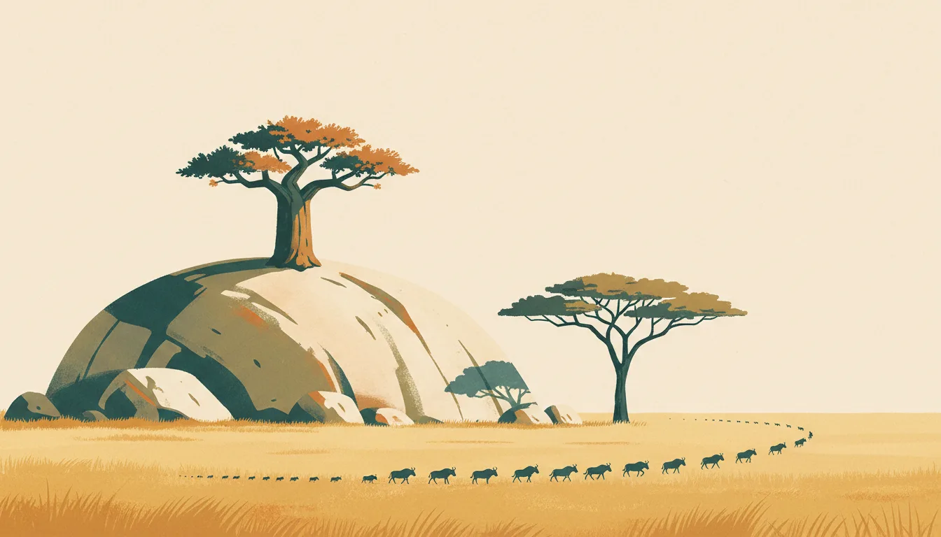
The Serengeti is large enough that the region matters: southern plains for calving in January–February, the western corridor in May–June, the north for river crossings from July to September. Mobile camps follow the herds; permanent lodges do not. This travel base guide groups the destination into six useful areas so the stay works on the ground, not only on a country map.
Is this your trip?
Who Serengeti is for
Wildlife travellers
The Serengeti is large enough that the region matters: southern plains for calving in January–February, the western corridor in May–June, the north for river crossings from July to September. Mobile camps follow the herds; permanent lodges do not.
Travellers with 3–4 days
That window gives Serengeti enough room for one anchor area and one contrasting cluster per day.
Calving season
Southern plains & Ndutu and Western corridor make that interest practical rather than a country-level promise.
Area-led planners
Six fixed clusters make it easier to choose a base and avoid repeated cross-destination transfers.
Maybe not for you: A compressed checklist is the weak version of Serengeti. Treat the suggested stay as time on the ground: weather, timed entry, ferries or mountain roads can remove half a day.
Season by season
When to visit Serengeti
The locally drier months; conditions vary by coast. Rounded equatorial planning normals: heat, humidity and rain in every month, with local rather than four-season shifts. Conditions can still change sharply by elevation, coast and exposure, so use the chart for route timing and the current forecast for the day itself.
- Best
Drier window
Varies locally
Lower monthly rain improves roads, water visibility and longer outdoor days.
- Good
Shoulder
Varies locally
Mixed sun and heavy showers usually still support a flexible itinerary.
- Mixed
Wetter window
Varies locally
Humidity, rough water and road delays matter more than small temperature changes.
- Good
Year-round
All months
Start early, protect electronics and keep one weather-flexible day in every base.
Weather · monthly normals
Rounded equatorial planning normals: heat, humidity and rain in every month, with local rather than four-season shifts. Values are rounded planning normals rather than a live forecast.
Do fewer things better
Things to do in Serengeti
A short, ordered set of experiences with the timing or planning catch that makes each one work.
- 1
Start with Seronera
Seronera
Airstrip, visitor centre and the densest lodges around the Seronera river
- 2
Walk Southern plains & Ndutu without stacking it
Southern plains & Ndutu
Short-grass plains with the herds from December to March
- 3
Use Western corridor for Grumeti river
Western corridor
May–July migration route with a river crossing and fewer vehicles
- 4
Give Kogatende & Lamai a deliberate half-day
Kogatende & Lamai
Northern sector with crossings from July to October and mobile camps
- 5
See Lobo & Loliondo outside peak hours
Lobo & Loliondo
Kopjes, elephants and camps outside the park boundary
- 6
Keep Naabi Hill gate weather-flexible
Naabi Hill gate
The main gate from the crater highlands where fees are paid
Treat the suggested stay as time on the ground: weather, timed entry, ferries or mountain roads can remove half a day.
Area by area
The areas of Serengeti
A real map at local-city scale: enough geography to choose a base, compare areas and group a day. Numbered places match the notes below.
| Area | What it is like | Why go |
|---|---|---|
1 Seronera central hub and year-round wildlife | Airstrip, visitor centre and the densest lodges around the Seronera river | Use Seronera when central hub and year-round wildlife matters more than crossing the whole destination. |
2 Southern plains & Ndutu calving season | Short-grass plains with the herds from December to March | Use Southern plains & Ndutu when calving season matters more than crossing the whole destination. |
3 Western corridor Grumeti river | May–July migration route with a river crossing and fewer vehicles | Use Western corridor when Grumeti river matters more than crossing the whole destination. |
4 Kogatende & Lamai Mara River crossings | Northern sector with crossings from July to October and mobile camps | Use Kogatende & Lamai when Mara River crossings matters more than crossing the whole destination. |
5 Lobo & Loliondo quieter north-east | Kopjes, elephants and camps outside the park boundary | Use Lobo & Loliondo when quieter north-east matters more than crossing the whole destination. |
6 Naabi Hill gate entry from Ngorongoro | The main gate from the crater highlands where fees are paid | Use Naabi Hill gate when entry from Ngorongoro matters more than crossing the whole destination. |
Choose the base, then the hotel
Where to stay in Serengeti
For most first visits: Seronera for central hub and year-round wildlife.
Seronera
Airstrip, visitor centre and the densest lodges around the Seronera river Choose it when that trade-off should shape mornings and evenings.
Southern plains & Ndutu
Short-grass plains with the herds from December to March Choose it when that trade-off should shape mornings and evenings.
Western corridor
May–July migration route with a river crossing and fewer vehicles Choose it when that trade-off should shape mornings and evenings.
Kogatende & Lamai
Northern sector with crossings from July to October and mobile camps Choose it when that trade-off should shape mornings and evenings.
Order with a point of view
What to eat in Serengeti
Local food is more useful as an area decision than as a checklist of famous dishes.
- 01
Nyama choma and mishkaki
Seronera
Grilled meat and skewers with chilli and lime are the country's shared evening food
- 02
Ugali with mchuzi
Southern plains & Ndutu
Maize meal with a fish, bean or meat stew is the everyday plate in any local restaurant
- 03
Zanzibar pilau and biryani
Western corridor
Spiced rice from the island's Omani and Indian trading past, best at a family kitchen or the Forodhani night market
- 04
Chagga banana stew
Kogatende & Lamai
Mtori and plantain dishes from the Kilimanjaro slopes show the mountain's farming culture
- 05
Spiced tea and Zanzibar coffee
Lobo & Loliondo
Chai ya tangawizi with ginger and small coffee cups from a street seller mark the Swahili day
Useful on the ground
Local tips for Serengeti
Plan the transfer, not only the distance
Treat the suggested stay as time on the ground: weather, timed entry, ferries or mountain roads can remove half a day.
E-visa or visa on arrival
Apply online through the official immigration portal before departure or pay in US dollars on arrival; Zanzibar additionally requires visitors to hold its mandatory travel insurance, purchased online before entry.
Shillings and US dollars
Park fees are set in US dollars and paid by card at gates; carry newer-series dollar bills for visas and tips, shillings for towns and markets. ATMs are reliable in Arusha, Moshi, Dar and Stone Town, scarce elsewhere.
Vodacom or Airtel SIM on arrival
Coverage reaches Arusha, Zanzibar and many camps but fades across the Serengeti; camp Wi-Fi is usually restricted to common areas and solar hours. Register the SIM with your passport.
Type G and type D sockets
Tanzania uses 230 V with mostly British three-pin type G, plus older Indian-style type D in some buildings; a universal adapter covers both.
Common questions
Quick answers about Serengeti
- When is the best time to visit Serengeti?
- The locally drier months; conditions vary by coast. Rounded equatorial planning normals: heat, humidity and rain in every month, with local rather than four-season shifts. Conditions can still change sharply by elevation, coast and exposure, so use the chart for route timing and the current forecast for the day itself.
- How many days do you need in Serengeti?
- 3–4 days. The Serengeti is large enough that the region matters: southern plains for calving in January–February, the western corridor in May–June, the north for river crossings from July to September. Mobile camps follow the herds; permanent lodges do not. This travel base guide groups the destination into six useful areas so the stay works on the ground, not only on a country map.
- Where should you stay in Serengeti?
- Seronera for central hub and year-round wildlife. Airstrip, visitor centre and the densest lodges around the Seronera river Choose it when that trade-off should shape mornings and evenings.
Keep building the route
Serengeti is part of Tanzania
Use the country guide for visa, money, long-distance transport and the route between cities. Then compare the other worked-out stops below.
- Arusha & KilimanjaroSafari capital and the mountain's climbing base
- Ngorongoro & Lake ManyaraCrater floor, Rift escarpment and highland Maasai country
- Zanzibar Stone TownSwahili trading port and its difficult history
- Zanzibar east coastReef, tide and village beaches on Unguja
- Dar es Salaam & NyerereWorking capital and the wild southern circuit