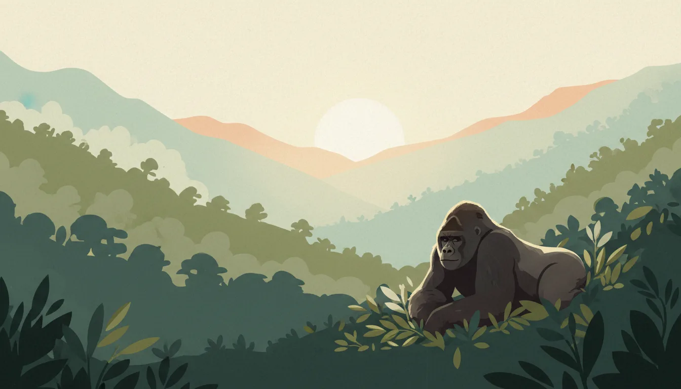


Bwindi Impenetrable Forest: what to expect
Bwindi holds roughly half the world's mountain gorillas across the Buhoma, Ruhija, Rushaga and Nkuringo sectors, each with its own lodges and trek difficulty. Permits cost USD 800, treks take one to six hours, and the sector you book decides where you sleep. This travel base guide groups the destination into six useful areas so the stay works on the ground, not only on a country map.
Is this your trip?
Who Bwindi Impenetrable Forest is for
Wildlife travellers
Bwindi holds roughly half the world's mountain gorillas across the Buhoma, Ruhija, Rushaga and Nkuringo sectors, each with its own lodges and trek difficulty. Permits cost USD 800, treks take one to six hours, and the sector you book decides where you sleep.
Travellers with 3–4 days
That window gives Bwindi Impenetrable Forest enough room for one anchor area and one contrasting cluster per day.
Eastern high sector
Ruhija and Rushaga make that interest practical rather than a country-level promise.
Area-led planners
Six fixed clusters make it easier to choose a base and avoid repeated cross-destination transfers.
Maybe not for you: A compressed checklist is the weak version of Bwindi Impenetrable Forest. Treat the suggested stay as time on the ground: weather, timed entry, ferries or mountain roads can remove half a day.
Season by season
When to visit Bwindi Impenetrable Forest
The locally drier season. Rounded tropical-highland planning normals: mild days, cool nights and rainfall shaped more by season than temperature. Conditions can still change sharply by elevation, coast and exposure, so use the chart for route timing and the current forecast for the day itself.
- Best
Drier season
November–April
Clearer mornings and firmer roads suit city walks and highland transfers.
- Good
Early rains
May–June
Green landscapes and afternoon showers still leave useful mornings.
- Mixed
Wet peak
July–October
Cloud, heavy rain and road delays require a less compressed route.
- Good
Transition
October–November
Conditions shift quickly by slope and elevation.
Weather · monthly normals
Rounded tropical-highland planning normals: mild days, cool nights and rainfall shaped more by season than temperature. Values are rounded planning normals rather than a live forecast.
Do fewer things better
Things to do in Bwindi Impenetrable Forest
A short, ordered set of experiences with the timing or planning catch that makes each one work.
- 1
Start with Buhoma
Buhoma
Park headquarters, the most lodges and community walks
- 2
Walk Ruhija without stacking it
Ruhija
Birding, Bamboo Trail and cool nights above 2,300 m
- 3
Use Rushaga for southern sector
Rushaga
The most gorilla families and the habituation experience
- 4
Give Nkuringo a deliberate half-day
Nkuringo
Steep treks, Virunga views and a strong community lodge
- 5
See Kisoro & Lake Mutanda outside peak hours
Kisoro & Lake Mutanda
Town services and a lake with volcano backdrop
- 6
Keep Mgahinga weather-flexible
Mgahinga
Small Virunga park with volcano hikes an hour from Kisoro
Treat the suggested stay as time on the ground: weather, timed entry, ferries or mountain roads can remove half a day.
Area by area
The areas of Bwindi Impenetrable Forest
A real map at local-city scale: enough geography to choose a base, compare areas and group a day. Numbered places match the notes below.
| Area | What it is like | Why go |
|---|---|---|
1 Buhoma northern sector and lodges | Park headquarters, the most lodges and community walks | Use Buhoma when northern sector and lodges matters more than crossing the whole destination. |
2 Ruhija eastern high sector | Birding, Bamboo Trail and cool nights above 2,300 m | Use Ruhija when eastern high sector matters more than crossing the whole destination. |
3 Rushaga southern sector | The most gorilla families and the habituation experience | Use Rushaga when southern sector matters more than crossing the whole destination. |
4 Nkuringo south-western ridge | Steep treks, Virunga views and a strong community lodge | Use Nkuringo when south-western ridge matters more than crossing the whole destination. |
5 Kisoro & Lake Mutanda southern base | Town services and a lake with volcano backdrop | Use Kisoro & Lake Mutanda when southern base matters more than crossing the whole destination. |
6 Mgahinga golden monkeys and Batwa trail | Small Virunga park with volcano hikes an hour from Kisoro | Use Mgahinga when golden monkeys and Batwa trail matters more than crossing the whole destination. |
Choose the base, then the hotel
Where to stay in Bwindi Impenetrable Forest
For most first visits: Buhoma for northern sector and lodges.
Buhoma
Park headquarters, the most lodges and community walks Choose it when that trade-off should shape mornings and evenings.
Ruhija
Birding, Bamboo Trail and cool nights above 2,300 m Choose it when that trade-off should shape mornings and evenings.
Rushaga
The most gorilla families and the habituation experience Choose it when that trade-off should shape mornings and evenings.
Nkuringo
Steep treks, Virunga views and a strong community lodge Choose it when that trade-off should shape mornings and evenings.
Order with a point of view
What to eat in Bwindi Impenetrable Forest
Local food is more useful as an area decision than as a checklist of famous dishes.
- 01
Rolex
Buhoma
A chapati rolled around fried eggs, tomato and cabbage from a roadside pan is the national snack
- 02
Matoke and groundnut sauce
Ruhija
Steamed green banana with peanut sauce is the Buganda staple at any lunch
- 03
Luwombo
Rushaga
Chicken, beef or groundnut stew steamed in banana leaves, the celebration dish of the central region
- 04
Nile perch and tilapia
Nkuringo
Grilled or fried lake fish at Entebbe, Jinja and Kasenyi landing sites
- 05
Muchomo and street grills
Kisoro & Lake Mutanda
Roadside meat skewers with gonja plantain make the standard evening or bus-stop meal
Useful on the ground
Local tips for Bwindi Impenetrable Forest
Plan the transfer, not only the distance
Treat the suggested stay as time on the ground: weather, timed entry, ferries or mountain roads can remove half a day.
E-visa or East Africa Tourist Visa
Apply online before travel and print the approval; the USD 100 EATV covers Uganda, Kenya and Rwanda for multi-country loops. A yellow fever certificate is checked on arrival.
Shillings for small things, dollars for permits
ATMs work in towns and cards in good lodges; permits and park fees are USD-priced, and old or marked dollar notes are refused.
MTN or Airtel SIM at the airport
Coverage is decent along the loop and absent in forest sectors; register the SIM with your passport as required.
Type G sockets
240 V British three-pin; lodges run on generators or solar with charging hours, so bring a power bank.
Common questions
Quick answers about Bwindi Impenetrable Forest
- When is the best time to visit Bwindi Impenetrable Forest?
- The locally drier season. Rounded tropical-highland planning normals: mild days, cool nights and rainfall shaped more by season than temperature. Conditions can still change sharply by elevation, coast and exposure, so use the chart for route timing and the current forecast for the day itself.
- How many days do you need in Bwindi Impenetrable Forest?
- 3–4 days. Bwindi holds roughly half the world's mountain gorillas across the Buhoma, Ruhija, Rushaga and Nkuringo sectors, each with its own lodges and trek difficulty. Permits cost USD 800, treks take one to six hours, and the sector you book decides where you sleep. This travel base guide groups the destination into six useful areas so the stay works on the ground, not only on a country map.
- Where should you stay in Bwindi Impenetrable Forest?
- Buhoma for northern sector and lodges. Park headquarters, the most lodges and community walks Choose it when that trade-off should shape mornings and evenings.
Keep building the route
Bwindi Impenetrable Forest is part of Uganda
Use the country guide for visa, money, long-distance transport and the route between cities. Then compare the other worked-out stops below.
- Kampala & EntebbeLakeside gateway and a hilly, musical capital
- Queen Elizabeth National ParkKazinga Channel boats and Ishasha lions
- Murchison FallsThe Nile forced through a seven-metre gap
- Kibale & Fort PortalChimpanzee forest and crater lakes
- Jinja & the Nile sourceWhite water and Lake Victoria's outlet