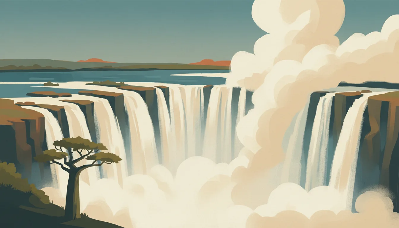


Lower Zambezi: what to expect
Camps on the river's north bank face Mana Pools across the water. Boat, canoe and walk between elephants and winterthorn woodland; most guests arrive by light aircraft from Lusaka. This travel base guide groups the destination into six useful areas so the stay works on the ground, not only on a country map.
Is this your trip?
Who Lower Zambezi is for
Wildlife travellers
Camps on the river's north bank face Mana Pools across the water. Boat, canoe and walk between elephants and winterthorn woodland; most guests arrive by light aircraft from Lusaka.
Travellers with 3–4 days
That window gives Lower Zambezi enough room for one anchor area and one contrasting cluster per day.
First lodges
Chiawa GMA and Jeki and the central park make that interest practical rather than a country-level promise.
Area-led planners
Six fixed clusters make it easier to choose a base and avoid repeated cross-destination transfers.
Maybe not for you: A compressed checklist is the weak version of Lower Zambezi. Treat the suggested stay as time on the ground: weather, timed entry, ferries or mountain roads can remove half a day.
Season by season
When to visit Lower Zambezi
April–June and September–November. Rounded Southern Hemisphere humid-subtropical normals: hot wet summers, mild winters and comfortable shoulder months. Conditions can still change sharply by elevation, coast and exposure, so use the chart for route timing and the current forecast for the day itself.
- Mixed
Summer
December–February
Heat, humidity and thunderstorms reward early outdoor starts and flexible afternoons.
- Best
Autumn
March–May
Temperatures and humidity ease while warm water and green landscapes remain.
- Good
Winter
June–August
Mild, drier days suit cities and falls, with cooler nights in the south or at height.
- Best
Spring
September–November
Warmth returns before peak summer humidity, with increasing showers later.
Weather · monthly normals
Rounded Southern Hemisphere humid-subtropical normals: hot wet summers, mild winters and comfortable shoulder months. Values are rounded planning normals rather than a live forecast.
Do fewer things better
Things to do in Lower Zambezi
A short, ordered set of experiences with the timing or planning catch that makes each one work.
- 1
Start with Chirundu
Chirundu
Border town where transfers and boats begin
- 2
Walk Chiawa GMA without stacking it
Chiawa GMA
Game management area lodges before the park boundary
- 3
Use Jeki and the central park for canoeing and boat safaris
Jeki and the central park
Floodplain channels between escarpment and river
- 4
Give Mana Pools shore a deliberate half-day
Mana Pools shore
Twin UNESCO landscape visible from the Zambian bank
- 5
See Zambezi escarpment outside peak hours
Zambezi escarpment
Steep descent through miombo woodland
- 6
Keep Royal and Jeki airstrips weather-flexible
Royal and Jeki airstrips
Bush airstrips with scheduled light-aircraft links to Lusaka
Treat the suggested stay as time on the ground: weather, timed entry, ferries or mountain roads can remove half a day.
Area by area
The areas of Lower Zambezi
A real map at local-city scale: enough geography to choose a base, compare areas and group a day. Numbered places match the notes below.
| Area | What it is like | Why go |
|---|---|---|
1 Chirundu road gateway | Border town where transfers and boats begin | Use Chirundu when road gateway matters more than crossing the whole destination. |
2 Chiawa GMA first lodges | Game management area lodges before the park boundary | Use Chiawa GMA when first lodges matters more than crossing the whole destination. |
3 Jeki and the central park canoeing and boat safaris | Floodplain channels between escarpment and river | Use Jeki and the central park when canoeing and boat safaris matters more than crossing the whole destination. |
4 Mana Pools shore Zimbabwe across the river | Twin UNESCO landscape visible from the Zambian bank | Use Mana Pools shore when Zimbabwe across the river matters more than crossing the whole destination. |
5 Zambezi escarpment scenic road and views | Steep descent through miombo woodland | Use Zambezi escarpment when scenic road and views matters more than crossing the whole destination. |
6 Royal and Jeki airstrips fly-in access | Bush airstrips with scheduled light-aircraft links to Lusaka | Use Royal and Jeki airstrips when fly-in access matters more than crossing the whole destination. |
Choose the base, then the hotel
Where to stay in Lower Zambezi
For most first visits: Chirundu for road gateway.
Chirundu
Border town where transfers and boats begin Choose it when that trade-off should shape mornings and evenings.
Chiawa GMA
Game management area lodges before the park boundary Choose it when that trade-off should shape mornings and evenings.
Jeki and the central park
Floodplain channels between escarpment and river Choose it when that trade-off should shape mornings and evenings.
Mana Pools shore
Twin UNESCO landscape visible from the Zambian bank Choose it when that trade-off should shape mornings and evenings.
Order with a point of view
What to eat in Lower Zambezi
Local food is more useful as an area decision than as a checklist of famous dishes.
- 01
Nshima with relish
Chirundu
Maize porridge with greens, beans, kapenta or village chicken is the meal at every table; ask for it at camps, not only in town
- 02
Bream from the Zambezi or Kariba
Chiawa GMA
Whole grilled fish with tomato and onion is the river and lakeside standard
- 03
Ifisashi and chikanda
Jeki and the central park
Peanut-stewed greens and the so-called African polony of ground orchid tuber show the Bemba kitchen
- 04
Dried caterpillars and village snacks
Mana Pools shore
Ifinkubala, roasted groundnuts and munkoyo maize drink appear in markets and at ceremonies
- 05
Lusaka's Kabulonga and Indian kitchens
Zambezi escarpment
Restaurants run by Zambian, Indian and Lebanese families make the capital's one evening worth eating out
Useful on the ground
Local tips for Lower Zambezi
Plan the transfer, not only the distance
Treat the suggested stay as time on the ground: weather, timed entry, ferries or mountain roads can remove half a day.
Waiver for most, univisa for two countries
Check the current Zambian immigration list; the KAZA univisa bought on arrival covers Zambia and Zimbabwe for 30 days and day trips to Botswana's Kazungula.
Kwacha for towns, cards and dollars for camps
ATMs work in Lusaka and Livingstone; camps quote in US dollars and take cards. Carry small kwacha for markets, tips and fuel outside cities.
Buy an Airtel or MTN SIM at the airport
Coverage is good in towns and patchy to absent in the parks; camps run limited Wi-Fi by satellite. Download maps and tickets before flying out of Lusaka.
Type C, D and G sockets
230 V with British three-pin common in lodges and older round-pin sockets elsewhere; a universal adapter covers both.
Common questions
Quick answers about Lower Zambezi
- When is the best time to visit Lower Zambezi?
- April–June and September–November. Rounded Southern Hemisphere humid-subtropical normals: hot wet summers, mild winters and comfortable shoulder months. Conditions can still change sharply by elevation, coast and exposure, so use the chart for route timing and the current forecast for the day itself.
- How many days do you need in Lower Zambezi?
- 3–4 days. Camps on the river's north bank face Mana Pools across the water. Boat, canoe and walk between elephants and winterthorn woodland; most guests arrive by light aircraft from Lusaka. This travel base guide groups the destination into six useful areas so the stay works on the ground, not only on a country map.
- Where should you stay in Lower Zambezi?
- Chirundu for road gateway. Border town where transfers and boats begin Choose it when that trade-off should shape mornings and evenings.
Keep building the route
Lower Zambezi is part of Zambia
Use the country guide for visa, money, long-distance transport and the route between cities. Then compare the other worked-out stops below.