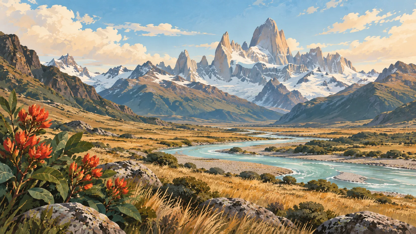


El Calafate & El Chaltén: what to expect
Use El Calafate for Perito Moreno and El Chaltén for walking; they are separate bases joined by a three-hour road, not one day trip. This travel base guide groups the destination into six useful areas so the stay works on the ground, not only on a country map.
Is this your trip?
Who El Calafate & El Chaltén is for
Hiking travellers
Use El Calafate for Perito Moreno and El Chaltén for walking; they are separate bases joined by a three-hour road, not one day trip.
Travellers with 5–7 days
That window gives El Calafate & El Chaltén enough room for one anchor area and one contrasting cluster per day.
Glacier and boardwalks
Perito Moreno sector and El Chaltén village make that interest practical rather than a country-level promise.
Area-led planners
Six fixed clusters make it easier to choose a base and avoid repeated cross-destination transfers.
Maybe not for you: A compressed checklist is the weak version of El Calafate & El Chaltén. Treat the suggested stay as time on the ground: weather, timed entry, ferries or mountain roads can remove half a day.
Season by season
When to visit El Calafate & El Chaltén
December–March or June–September. Rounded Southern Alpine normals; season, elevation and pass access should drive the itinerary. Conditions can still change sharply by elevation, coast and exposure, so use the chart for route timing and the current forecast for the day itself.
- Best
Summer
December–March
Long trail days, cold fronts and peak lake demand define the main walking window.
- Good
Autumn
April–May
Colour and calmer crowds arrive before higher routes close.
- Best
Winter
June–September
Snow sports work from the right base; chains and pass closures affect road plans.
- Mixed
Spring
October–November
Thaw and unsettled weather leave some high routes between seasons.
Weather · monthly normals
Rounded Southern Alpine normals; season, elevation and pass access should drive the itinerary. Values are rounded planning normals rather than a live forecast.
Do fewer things better
Things to do in El Calafate & El Chaltén
A short, ordered set of experiences with the timing or planning catch that makes each one work.
- 1
Start with El Calafate
El Calafate
Services, lake edge and Perito Moreno departures
- 2
Walk Perito Moreno sector without stacking it
Perito Moreno sector
Full park day reached by a long steppe road
- 3
Use El Chaltén village for trailhead and weather base
El Chaltén village
Compact walking town three hours north
- 4
Give Fitz Roy valley a deliberate half-day
Fitz Roy valley
Laguna de los Tres route needs wind and cloud judgement
- 5
See Cerro Torre valley outside peak hours
Cerro Torre valley
Laguna Torre and shorter branches work in mixed weather
- 6
Keep Lago del Desierto weather-flexible
Lago del Desierto
Northern valley reached by shuttle or careful driving
Treat the suggested stay as time on the ground: weather, timed entry, ferries or mountain roads can remove half a day.
Area by area
The areas of El Calafate & El Chaltén
A real map at local-city scale: enough geography to choose a base, compare areas and group a day. Numbered places match the notes below.
| Area | What it is like | Why go |
|---|---|---|
1 El Calafate airport and glacier base | Services, lake edge and Perito Moreno departures | Use El Calafate when airport and glacier base matters more than crossing the whole destination. |
2 Perito Moreno sector glacier and boardwalks | Full park day reached by a long steppe road | Use Perito Moreno sector when glacier and boardwalks matters more than crossing the whole destination. |
3 El Chaltén village trailhead and weather base | Compact walking town three hours north | Use El Chaltén village when trailhead and weather base matters more than crossing the whole destination. |
4 Fitz Roy valley headline hiking | Laguna de los Tres route needs wind and cloud judgement | Use Fitz Roy valley when headline hiking matters more than crossing the whole destination. |
5 Cerro Torre valley lower flexible walking | Laguna Torre and shorter branches work in mixed weather | Use Cerro Torre valley when lower flexible walking matters more than crossing the whole destination. |
6 Lago del Desierto remote road and water | Northern valley reached by shuttle or careful driving | Use Lago del Desierto when remote road and water matters more than crossing the whole destination. |
Choose the base, then the hotel
Where to stay in El Calafate & El Chaltén
For most first visits: El Calafate for airport and glacier base.
El Calafate
Services, lake edge and Perito Moreno departures Choose it when that trade-off should shape mornings and evenings.
Perito Moreno sector
Full park day reached by a long steppe road Choose it when that trade-off should shape mornings and evenings.
El Chaltén village
Compact walking town three hours north Choose it when that trade-off should shape mornings and evenings.
Fitz Roy valley
Laguna de los Tres route needs wind and cloud judgement Choose it when that trade-off should shape mornings and evenings.
Order with a point of view
What to eat in El Calafate & El Chaltén
Local food is more useful as an area decision than as a checklist of famous dishes.
- 01
Neighbourhood parrilla
El Calafate
Learn the cuts, share sides and choose a grill by turnover rather than theatrical size
- 02
Empanada by province
Perito Moreno sector
Salta, Mendoza and Patagonia use different fillings, pastry and seasoning
- 03
Fresh pasta or pizza
El Chaltén village
Italian migration lives in everyday city cooking, not only heritage restaurants
- 04
Regional wine or non-alcoholic pairing
Fitz Roy valley
Taste by valley and altitude, with a sober driver outside cities
- 05
Helado and café stop
Cerro Torre valley
Late-afternoon ice cream and coffee fit the local day better than another formal tasting
Useful on the ground
Local tips for El Calafate & El Chaltén
Plan the transfer, not only the distance
Treat the suggested stay as time on the ground: weather, timed entry, ferries or mountain roads can remove half a day.
Check entry by passport
Use the Argentine government's current entry guidance; rules and reciprocity charges can depend on nationality.
Carry more than one payment option
Cards are widespread, but settlement rates and cash access change. Confirm the current legal exchange picture rather than following old forum advice.
Download long-route details
Urban coverage is strong; steppe roads and trail areas can lose signal for hours.
Type I sockets
Argentina uses 220 V and mainly type I sockets; some older properties also accept type C.
Common questions
Quick answers about El Calafate & El Chaltén
- When is the best time to visit El Calafate & El Chaltén?
- December–March or June–September. Rounded Southern Alpine normals; season, elevation and pass access should drive the itinerary. Conditions can still change sharply by elevation, coast and exposure, so use the chart for route timing and the current forecast for the day itself.
- How many days do you need in El Calafate & El Chaltén?
- 5–7 days. Use El Calafate for Perito Moreno and El Chaltén for walking; they are separate bases joined by a three-hour road, not one day trip. This travel base guide groups the destination into six useful areas so the stay works on the ground, not only on a country map.
- Where should you stay in El Calafate & El Chaltén?
- El Calafate for airport and glacier base. Services, lake edge and Perito Moreno departures Choose it when that trade-off should shape mornings and evenings.
Keep building the route
El Calafate & El Chaltén is part of Argentina
Use the country guide for visa, money, long-distance transport and the route between cities. Then compare the other worked-out stops below.