
Florianópolis & Santa Catarina: what to expect
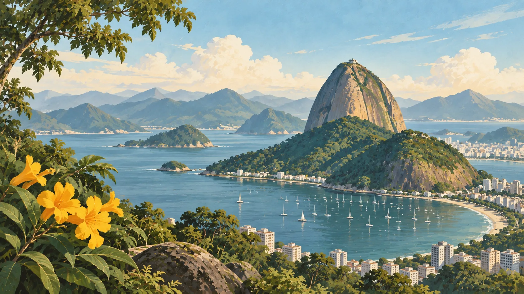
The island combines urban districts, fishing communities, dunes and surf beaches, but congestion makes changing coast every day a poor plan. This travel base guide groups the destination into six useful areas so the stay works on the ground, not only on a country map.
Is this your trip?
Who Florianópolis & Santa Catarina is for
Beaches travellers
The island combines urban districts, fishing communities, dunes and surf beaches, but congestion makes changing coast every day a poor plan.
Travellers with 4–6 days
That window gives Florianópolis & Santa Catarina enough room for one anchor area and one contrasting cluster per day.
First activity base
Lagoa da Conceição and Barra da Lagoa make that interest practical rather than a country-level promise.
Area-led planners
Six fixed clusters make it easier to choose a base and avoid repeated cross-destination transfers.
Maybe not for you: A compressed checklist is the weak version of Florianópolis & Santa Catarina. Treat the suggested stay as time on the ground: weather, timed entry, ferries or mountain roads can remove half a day.
Season by season
When to visit Florianópolis & Santa Catarina
April–June and September–November. Rounded Southern Hemisphere humid-subtropical normals: hot wet summers, mild winters and comfortable shoulder months. Conditions can still change sharply by elevation, coast and exposure, so use the chart for route timing and the current forecast for the day itself.
- Mixed
Summer
December–February
Heat, humidity and thunderstorms reward early outdoor starts and flexible afternoons.
- Best
Autumn
March–May
Temperatures and humidity ease while warm water and green landscapes remain.
- Good
Winter
June–August
Mild, drier days suit cities and falls, with cooler nights in the south or at height.
- Best
Spring
September–November
Warmth returns before peak summer humidity, with increasing showers later.
Weather · monthly normals
Rounded Southern Hemisphere humid-subtropical normals: hot wet summers, mild winters and comfortable shoulder months. Values are rounded planning normals rather than a live forecast.
Do fewer things better
Things to do in Florianópolis & Santa Catarina
A short, ordered set of experiences with the timing or planning catch that makes each one work.
- 1
Start with Centro & bridge district
Centro & bridge district
Markets, museums and mainland connections
- 2
Walk Lagoa da Conceição without stacking it
Lagoa da Conceição
Lagoon, food and roads linking east-coast beaches
- 3
Use Barra da Lagoa for families and trails
Barra da Lagoa
Fishing community beside calmer access and a coastal path
- 4
Give Campeche & south-east a deliberate half-day
Campeche & south-east
Broad beach with airport-side convenience
- 5
See Ribeirão da Ilha outside peak hours
Ribeirão da Ilha
Historic south-west villages along quiet water
- 6
Keep Northern beaches weather-flexible
Northern beaches
Jurerê, Canasvieiras and Ingleses carry peak-season density
Treat the suggested stay as time on the ground: weather, timed entry, ferries or mountain roads can remove half a day.
Area by area
The areas of Florianópolis & Santa Catarina
A real map at local-city scale: enough geography to choose a base, compare areas and group a day. Numbered places match the notes below.
| Area | What it is like | Why go |
|---|---|---|
1 Centro & bridge district history and transport | Markets, museums and mainland connections | Use Centro & bridge district when history and transport matters more than crossing the whole destination. |
2 Lagoa da Conceição first activity base | Lagoon, food and roads linking east-coast beaches | Use Lagoa da Conceição when first activity base matters more than crossing the whole destination. |
3 Barra da Lagoa families and trails | Fishing community beside calmer access and a coastal path | Use Barra da Lagoa when families and trails matters more than crossing the whole destination. |
4 Campeche & south-east surf and longer stays | Broad beach with airport-side convenience | Use Campeche & south-east when surf and longer stays matters more than crossing the whole destination. |
5 Ribeirão da Ilha oysters and Azorean history | Historic south-west villages along quiet water | Use Ribeirão da Ilha when oysters and Azorean history matters more than crossing the whole destination. |
6 Northern beaches resorts and summer services | Jurerê, Canasvieiras and Ingleses carry peak-season density | Use Northern beaches when resorts and summer services matters more than crossing the whole destination. |
Choose the base, then the hotel
Where to stay in Florianópolis & Santa Catarina
For most first visits: Centro & bridge district for history and transport.
Centro & bridge district
Markets, museums and mainland connections Choose it when that trade-off should shape mornings and evenings.
Lagoa da Conceição
Lagoon, food and roads linking east-coast beaches Choose it when that trade-off should shape mornings and evenings.
Barra da Lagoa
Fishing community beside calmer access and a coastal path Choose it when that trade-off should shape mornings and evenings.
Campeche & south-east
Broad beach with airport-side convenience Choose it when that trade-off should shape mornings and evenings.
Order with a point of view
What to eat in Florianópolis & Santa Catarina
Local food is more useful as an area decision than as a checklist of famous dishes.
- 01
Kilo restaurant lunch
Centro & bridge district
A pay-by-weight counter is the practical way to taste vegetables, beans, salads and regional staples
- 02
Regional bean or seafood pot
Lagoa da Conceição
Feijoada, moqueca and tacacá belong to different histories and places
- 03
Market fruit and juice
Barra da Lagoa
Taste cupuaçu, açaí, cajá or jabuticaba according to region and season
- 04
Bakery breakfast
Campeche & south-east
Coffee, pão de queijo, tapioca and savoury pastries make a useful local start
- 05
Live-fire or street snack
Ribeirão da Ilha
Choose churrasco, acarajé or grilled fish through its regional context, not as one national menu
Useful on the ground
Local tips for Florianópolis & Santa Catarina
Plan the transfer, not only the distance
Treat the suggested stay as time on the ground: weather, timed entry, ferries or mountain roads can remove half a day.
Verify passport-specific entry
Brazil's visa and electronic-visa rules can change by nationality and date; use the official consular source.
Cards lead, backup cash helps
Contactless cards and instant payments are common, but travellers still need small cash and a second card for outages or smaller places.
Buy data and save offline routes
City coverage is broad; river journeys, parks and remote roads lose signal.
Type N and mixed voltage
Brazil mainly uses type N sockets. Voltage can be 127 V or 220 V by city and building, so check equipment and the room.
Common questions
Quick answers about Florianópolis & Santa Catarina
- When is the best time to visit Florianópolis & Santa Catarina?
- April–June and September–November. Rounded Southern Hemisphere humid-subtropical normals: hot wet summers, mild winters and comfortable shoulder months. Conditions can still change sharply by elevation, coast and exposure, so use the chart for route timing and the current forecast for the day itself.
- How many days do you need in Florianópolis & Santa Catarina?
- 4–6 days. The island combines urban districts, fishing communities, dunes and surf beaches, but congestion makes changing coast every day a poor plan. This travel base guide groups the destination into six useful areas so the stay works on the ground, not only on a country map.
- Where should you stay in Florianópolis & Santa Catarina?
- Centro & bridge district for history and transport. Markets, museums and mainland connections Choose it when that trade-off should shape mornings and evenings.
Keep building the route
Florianópolis & Santa Catarina is part of Brazil
Use the country guide for visa, money, long-distance transport and the route between cities. Then compare the other worked-out stops below.