

Santo Antão: what to expect
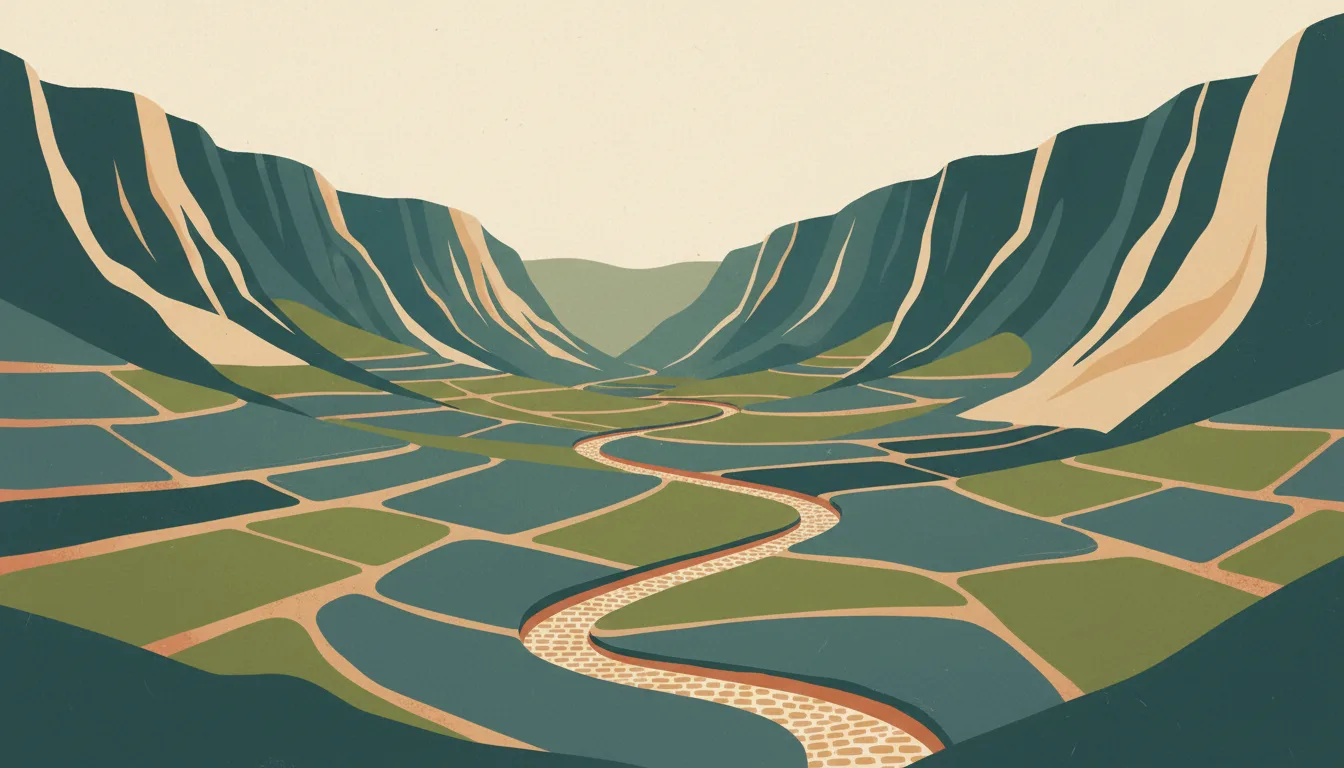
An hour's ferry from Mindelo, Santo Antão is the walking island: the Cova crater to Paúl valley descent, the Ponta do Sol coast path to Cruzinha, and villages set in terraced valleys of sugar cane and grogue stills. This travel base guide groups the destination into six useful areas so the stay works on the ground, not only on a country map.
Is this your trip?
Who Santo Antão is for
Hiking travellers
An hour's ferry from Mindelo, Santo Antão is the walking island: the Cova crater to Paúl valley descent, the Ponta do Sol coast path to Cruzinha, and villages set in terraced valleys of sugar cane and grogue stills.
Travellers with 3–5 days
That window gives Santo Antão enough room for one anchor area and one contrasting cluster per day.
Green valley and Cova descent
Vale do Paúl and Cova & the Estrada da Corda make that interest practical rather than a country-level promise.
Area-led planners
Six fixed clusters make it easier to choose a base and avoid repeated cross-destination transfers.
Maybe not for you: A compressed checklist is the weak version of Santo Antão. Treat the suggested stay as time on the ground: weather, timed entry, ferries or mountain roads can remove half a day.
Season by season
When to visit Santo Antão
December–April, adjusted for the coast. Rounded tropical-seasonal planning normals: warm year-round with a clear dry and green-season rhythm. Conditions can still change sharply by elevation, coast and exposure, so use the chart for route timing and the current forecast for the day itself.
- Best
Dry season
December–April
Reliable mornings and easier roads, with peak prices and dust in exposed areas.
- Good
Early green
May–July
Lush landscapes and afternoon rain often make a strong value window.
- Mixed
Wet peak
August–October
Heavy rain can reshape roads, rivers and sea conditions.
- Good
Transition
November
Rain eases unevenly before high season fully returns.
Weather · monthly normals
Rounded tropical-seasonal planning normals: warm year-round with a clear dry and green-season rhythm. Values are rounded planning normals rather than a live forecast.
Do fewer things better
Things to do in Santo Antão
A short, ordered set of experiences with the timing or planning catch that makes each one work.
- 1
Start with Ribeira Grande & Ponta do Sol
Ribeira Grande & Ponta do Sol
Town and headland village at the start of the Ponta do Sol to Cruzinha coastal walk
- 2
Walk Vale do Paúl without stacking it
Vale do Paúl
Sugar cane, grogue stills and the classic walk down from the Cova crater
- 3
Use Cova & the Estrada da Corda for crater and mountain road
Cova & the Estrada da Corda
Cobbled ridge road from Porto Novo with the crater farm at 1,200 metres
- 4
Give Fontainhas a deliberate half-day
Fontainhas
Village on a knife-edge spur with the path onward to Cruzinha
- 5
See Porto Novo outside peak hours
Porto Novo
Arrival port from Mindelo with a market and the road over the ridge
- 6
Keep Tarrafal de Monte Trigo weather-flexible
Tarrafal de Monte Trigo
Fishing village at the end of a long track with dark-sand beach and guesthouses
Treat the suggested stay as time on the ground: weather, timed entry, ferries or mountain roads can remove half a day.
Area by area
The areas of Santo Antão
A real map at local-city scale: enough geography to choose a base, compare areas and group a day. Numbered places match the notes below.
| Area | What it is like | Why go |
|---|---|---|
1 Ribeira Grande & Ponta do Sol first base and coast path | Town and headland village at the start of the Ponta do Sol to Cruzinha coastal walk | Use Ribeira Grande & Ponta do Sol when first base and coast path matters more than crossing the whole destination. |
2 Vale do Paúl green valley and Cova descent | Sugar cane, grogue stills and the classic walk down from the Cova crater | Use Vale do Paúl when green valley and Cova descent matters more than crossing the whole destination. |
3 Cova & the Estrada da Corda crater and mountain road | Cobbled ridge road from Porto Novo with the crater farm at 1,200 metres | Use Cova & the Estrada da Corda when crater and mountain road matters more than crossing the whole destination. |
4 Fontainhas cliff village | Village on a knife-edge spur with the path onward to Cruzinha | Use Fontainhas when cliff village matters more than crossing the whole destination. |
5 Porto Novo ferry port and dry south | Arrival port from Mindelo with a market and the road over the ridge | Use Porto Novo when ferry port and dry south matters more than crossing the whole destination. |
6 Tarrafal de Monte Trigo remote south-west beach | Fishing village at the end of a long track with dark-sand beach and guesthouses | Use Tarrafal de Monte Trigo when remote south-west beach matters more than crossing the whole destination. |
Choose the base, then the hotel
Where to stay in Santo Antão
For most first visits: Ribeira Grande & Ponta do Sol for first base and coast path.
Ribeira Grande & Ponta do Sol
Town and headland village at the start of the Ponta do Sol to Cruzinha coastal walk Choose it when that trade-off should shape mornings and evenings.
Vale do Paúl
Sugar cane, grogue stills and the classic walk down from the Cova crater Choose it when that trade-off should shape mornings and evenings.
Cova & the Estrada da Corda
Cobbled ridge road from Porto Novo with the crater farm at 1,200 metres Choose it when that trade-off should shape mornings and evenings.
Fontainhas
Village on a knife-edge spur with the path onward to Cruzinha Choose it when that trade-off should shape mornings and evenings.
Order with a point of view
What to eat in Santo Antão
Local food is more useful as an area decision than as a checklist of famous dishes.
- 01
Cachupa
Ribeira Grande & Ponta do Sol
Slow-cooked corn, beans and vegetables with fish or meat is the national dish; cachupa refogada, fried with an egg, is the breakfast version
- 02
Grilled fish and lagosta
Vale do Paúl
Tuna, wahoo, moray and lobster from the day's catch, grilled simply with rice and salad on any harbour front
- 03
Caldo de peixe and buzio
Cova & the Estrada da Corda
Fish broth and whelk stew belong to the northern islands and the small restaurants of Mindelo and Santo Antão
- 04
Pastel and morcela
Fontainhas
Tuna pastries, blood sausage and goat cheese with papaya jam are the snacks and starters worth seeking out
- 05
Grogue, ponche and Fogo wine
Porto Novo
Sugar-cane rum from Santo Antão stills, sweetened ponche and the volcanic-soil wines of Chã das Caldeiras
Useful on the ground
Local tips for Santo Antão
Plan the transfer, not only the distance
Treat the suggested stay as time on the ground: weather, timed entry, ferries or mountain roads can remove half a day.
Visa-free with pre-registration
EU, UK, US and many others enter visa-free for 30 days; register on the EASE platform before arrival and pay the airport security tax unless your airline includes it. A yellow fever certificate applies only to arrivals from risk countries.
Escudos, euros and patchy ATMs
The escudo is pegged to the euro and euros are widely accepted on Sal and Boa Vista; ATMs exist in every island capital but fail and empty, so carry cash for Santo Antão and Fogo. Cards work in resorts and larger restaurants.
CVMóvel or Unitel T+ SIM
Data is affordable and fine in towns; Santo Antão's valleys and Fogo's crater are patchy. Hotel Wi-Fi is usually adequate for messaging.
Type C and F sockets
Cape Verde uses 220 V with European two-pin sockets; a standard EU plug fits everywhere.
Common questions
Quick answers about Santo Antão
- When is the best time to visit Santo Antão?
- December–April, adjusted for the coast. Rounded tropical-seasonal planning normals: warm year-round with a clear dry and green-season rhythm. Conditions can still change sharply by elevation, coast and exposure, so use the chart for route timing and the current forecast for the day itself.
- How many days do you need in Santo Antão?
- 3–5 days. An hour's ferry from Mindelo, Santo Antão is the walking island: the Cova crater to Paúl valley descent, the Ponta do Sol coast path to Cruzinha, and villages set in terraced valleys of sugar cane and grogue stills. This travel base guide groups the destination into six useful areas so the stay works on the ground, not only on a country map.
- Where should you stay in Santo Antão?
- Ribeira Grande & Ponta do Sol for first base and coast path. Town and headland village at the start of the Ponta do Sol to Cruzinha coastal walk Choose it when that trade-off should shape mornings and evenings.
Keep building the route
Santo Antão is part of Cape Verde
Use the country guide for visa, money, long-distance transport and the route between cities. Then compare the other worked-out stops below.