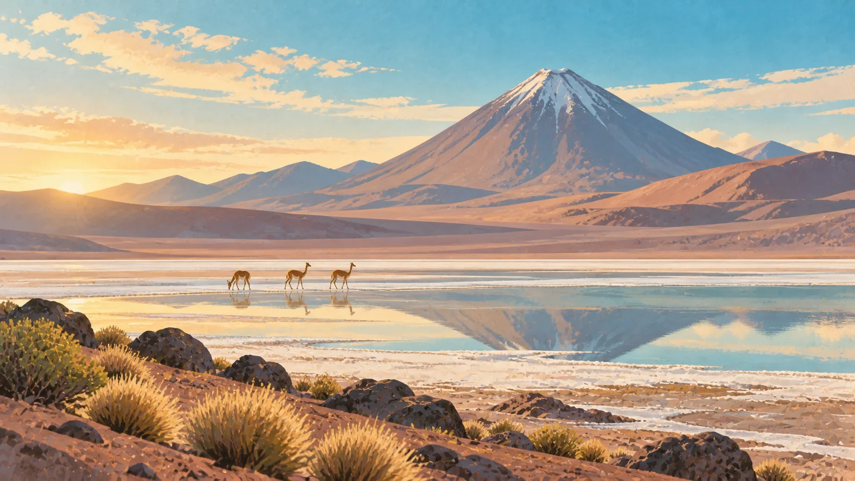


San Pedro de Atacama: what to expect
A small high-desert base for excursions that range from 2,400 to more than 4,000 metres. Sequence altitude rather than stacking famous dawns. This town guide groups the destination into six useful areas so the stay works on the ground, not only on a country map.
Is this your trip?
Who San Pedro de Atacama is for
Astronomy travellers
A small high-desert base for excursions that range from 2,400 to more than 4,000 metres. Sequence altitude rather than stacking famous dawns.
Travellers with 4–5 days
That window gives San Pedro de Atacama enough room for one anchor area and one contrasting cluster per day.
Low-altitude landscape
Valle de la Luna and Salar de Atacama make that interest practical rather than a country-level promise.
Area-led planners
Six fixed clusters make it easier to choose a base and avoid repeated cross-destination transfers.
Maybe not for you: A compressed checklist is the weak version of San Pedro de Atacama. Treat the suggested stay as time on the ground: weather, timed entry, ferries or mountain roads can remove half a day.
Season by season
When to visit San Pedro de Atacama
March–May and September–November. Rounded Southern Hemisphere high-desert normals: dry throughout the year, warm sun, cold nights and strong altitude effects. Conditions can still change sharply by elevation, coast and exposure, so use the chart for route timing and the current forecast for the day itself.
- Good
Summer
December–February
Warm low-desert days coincide with altiplano storms and very strong sun.
- Best
Autumn
March–May
Clearer skies and moderate temperatures suit broad desert and astronomy days.
- Good
Winter
June–August
Dry days continue, but high-altitude dawns and nights can be severely cold.
- Best
Spring
September–November
Warming, dry conditions return before summer demand and highland storms.
Weather · monthly normals
Rounded Southern Hemisphere high-desert normals: dry throughout the year, warm sun, cold nights and strong altitude effects. Values are rounded planning normals rather than a live forecast.
Do fewer things better
Things to do in San Pedro de Atacama
A short, ordered set of experiences with the timing or planning catch that makes each one work.
- 1
Start with San Pedro centre
San Pedro centre
Adobe streets around tour offices, food and water
- 2
Walk Valle de la Luna without stacking it
Valle de la Luna
Salt and sculpted terrain close to town
- 3
Use Salar de Atacama for flamingos and salt ecology
Salar de Atacama
Protected lagoons south of the oasis
- 4
Give Altiplano lagoons a deliberate half-day
Altiplano lagoons
Long route above four thousand metres
- 5
See El Tatio outside peak hours
El Tatio
Very early high-altitude excursion requiring acclimatisation
- 6
Keep Ayllu villages weather-flexible
Ayllu villages
Community land and irrigation history beyond central tourism
Treat the suggested stay as time on the ground: weather, timed entry, ferries or mountain roads can remove half a day.
Area by area
The areas of San Pedro de Atacama
A real map at local-city scale: enough geography to choose a base, compare areas and group a day. Numbered places match the notes below.
| Area | What it is like | Why go |
|---|---|---|
1 San Pedro centre first base and services | Adobe streets around tour offices, food and water | Use San Pedro centre when first base and services matters more than crossing the whole destination. |
2 Valle de la Luna low-altitude landscape | Salt and sculpted terrain close to town | Use Valle de la Luna when low-altitude landscape matters more than crossing the whole destination. |
3 Salar de Atacama flamingos and salt ecology | Protected lagoons south of the oasis | Use Salar de Atacama when flamingos and salt ecology matters more than crossing the whole destination. |
4 Altiplano lagoons high-country day | Long route above four thousand metres | Use Altiplano lagoons when high-country day matters more than crossing the whole destination. |
5 El Tatio geysers and severe dawn cold | Very early high-altitude excursion requiring acclimatisation | Use El Tatio when geysers and severe dawn cold matters more than crossing the whole destination. |
6 Ayllu villages local oasis culture | Community land and irrigation history beyond central tourism | Use Ayllu villages when local oasis culture matters more than crossing the whole destination. |
Choose the base, then the hotel
Where to stay in San Pedro de Atacama
For most first visits: San Pedro centre for first base and services.
San Pedro centre
Adobe streets around tour offices, food and water Choose it when that trade-off should shape mornings and evenings.
Valle de la Luna
Salt and sculpted terrain close to town Choose it when that trade-off should shape mornings and evenings.
Salar de Atacama
Protected lagoons south of the oasis Choose it when that trade-off should shape mornings and evenings.
Altiplano lagoons
Long route above four thousand metres Choose it when that trade-off should shape mornings and evenings.
Order with a point of view
What to eat in San Pedro de Atacama
Local food is more useful as an area decision than as a checklist of famous dishes.
- 01
Market seafood
San Pedro centre
Choose fish, shellfish and preparation by coast and legal season rather than ordering a generic platter
- 02
Picada lunch
Valle de la Luna
A modest local restaurant gives stews, sandwiches and plates without wine-tour theatre
- 03
Empanada by region
Salar de Atacama
Pino, cheese and seafood fillings change with city, oven and coast
- 04
Produce and bread stop
Altiplano lagoons
Avocado, tomato, berries and marraqueta make a road lunch more local and flexible
- 05
Wine, pisco or botanical drink
El Tatio
Taste through provenance and arrange a sober driver; non-alcoholic options deserve equal attention
Useful on the ground
Local tips for San Pedro de Atacama
Plan the transfer, not only the distance
Treat the suggested stay as time on the ground: weather, timed entry, ferries or mountain roads can remove half a day.
Confirm entry and reciprocity rules
Requirements vary by passport and can include advance travel authorisation or fees. Use the current official consular source.
Cards are normal
Cards work widely, including contactless in cities; carry modest peso cash for rural services, markets and outages.
Coverage fades with the road
Urban and settled-valley data is strong. Altiplano, islands and Patagonia require offline maps and saved bookings.
Type C and L sockets
Chile uses 220 V. Slim two-pin type C plugs often fit, while grounded equipment may need a type L adapter.
Common questions
Quick answers about San Pedro de Atacama
- When is the best time to visit San Pedro de Atacama?
- March–May and September–November. Rounded Southern Hemisphere high-desert normals: dry throughout the year, warm sun, cold nights and strong altitude effects. Conditions can still change sharply by elevation, coast and exposure, so use the chart for route timing and the current forecast for the day itself.
- How many days do you need in San Pedro de Atacama?
- 4–5 days. A small high-desert base for excursions that range from 2,400 to more than 4,000 metres. Sequence altitude rather than stacking famous dawns. This town guide groups the destination into six useful areas so the stay works on the ground, not only on a country map.
- Where should you stay in San Pedro de Atacama?
- San Pedro centre for first base and services. Adobe streets around tour offices, food and water Choose it when that trade-off should shape mornings and evenings.
Keep building the route
San Pedro de Atacama is part of Chile
Use the country guide for visa, money, long-distance transport and the route between cities. Then compare the other worked-out stops below.