
Guna Yala: what to expect
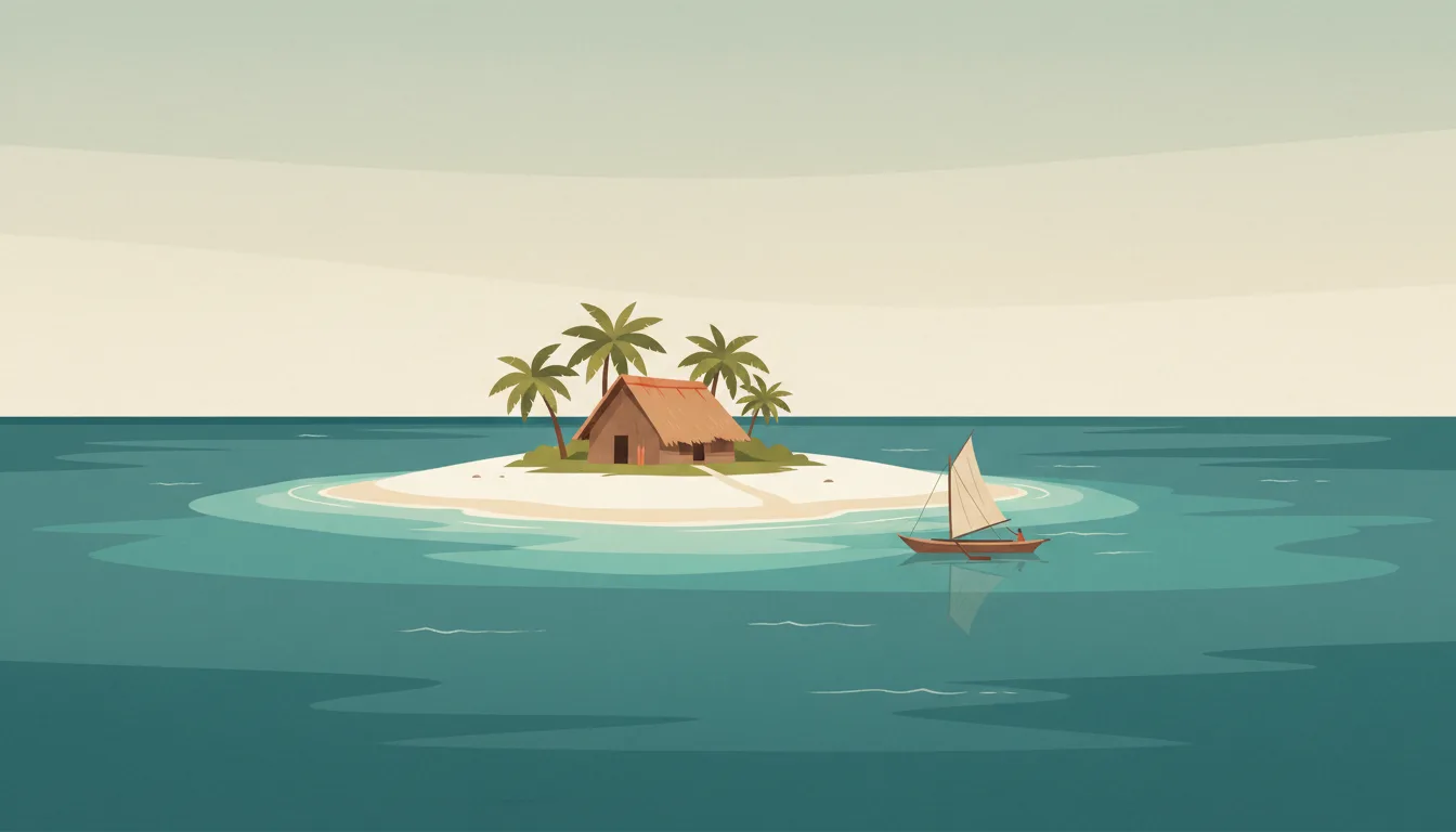
Reach the coast by 4x4 from Panama City, then sleep in simple Guna-run cabins on sand islands; the community sets access, fees and rules, and every visit supports its autonomy. This travel base guide groups the destination into six useful areas so the stay works on the ground, not only on a country map.
Is this your trip?
Who Guna Yala is for
Islands travellers
Reach the coast by 4x4 from Panama City, then sleep in simple Guna-run cabins on sand islands; the community sets access, fees and rules, and every visit supports its autonomy.
Travellers with 2–4 days
That window gives Guna Yala enough room for one anchor area and one contrasting cluster per day.
Road head and boats
Cartí and Cayos Holandeses make that interest practical rather than a country-level promise.
Area-led planners
Six fixed clusters make it easier to choose a base and avoid repeated cross-destination transfers.
Maybe not for you: A compressed checklist is the weak version of Guna Yala. Treat the suggested stay as time on the ground: weather, timed entry, ferries or mountain roads can remove half a day.
Season by season
When to visit Guna Yala
December–April. Rounded Caribbean maritime normals: warm trade-wind weather year-round, a drier winter-spring and wetter late summer-autumn. Conditions can still change sharply by elevation, coast and exposure, so use the chart for route timing and the current forecast for the day itself.
- Best
Dry high season
December–April
Lower humidity and rain make movement and water days easiest, with winter price pressure.
- Good
Early wet season
May–June
Warm water and lighter demand come with heavier, usually short showers.
- Mixed
Storm season
July–October
Heat, humidity and Atlantic tropical systems require current checks and flexible bookings.
- Good
Transition
November
Rain and storm risk ease unevenly before the main winter season.
Weather · monthly normals
Rounded Caribbean maritime normals: warm trade-wind weather year-round, a drier winter-spring and wetter late summer-autumn. Values are rounded planning normals rather than a live forecast.
Do fewer things better
Things to do in Guna Yala
A short, ordered set of experiences with the timing or planning catch that makes each one work.
- 1
Start with El Porvenir
El Porvenir
Administrative island with the comarca office and boat pick-ups
- 2
Walk Cartí without stacking it
Cartí
Mainland landing where 4x4 transfers meet the lanchas
- 3
Use Cayos Holandeses for reef and open water
Cayos Holandeses
Outer island group with the clearest snorkelling and strong swell
- 4
Give Cayos Limones a deliberate half-day
Cayos Limones
Sand islands with Guna-run cabins close to Cartí
- 5
See Isla Aguja & Isla Perro outside peak hours
Isla Aguja & Isla Perro
Shallow wreck snorkelling and lunch stops
- 6
Keep Nalunega & Wichubwala weather-flexible
Nalunega & Wichubwala
Densely built island communities where visits follow local protocol
Treat the suggested stay as time on the ground: weather, timed entry, ferries or mountain roads can remove half a day.
Area by area
The areas of Guna Yala
A real map at local-city scale: enough geography to choose a base, compare areas and group a day. Numbered places match the notes below.
| Area | What it is like | Why go |
|---|---|---|
1 El Porvenir entry island and airstrip | Administrative island with the comarca office and boat pick-ups | Use El Porvenir when entry island and airstrip matters more than crossing the whole destination. |
2 Cartí road head and boats | Mainland landing where 4x4 transfers meet the lanchas | Use Cartí when road head and boats matters more than crossing the whole destination. |
3 Cayos Holandeses reef and open water | Outer island group with the clearest snorkelling and strong swell | Use Cayos Holandeses when reef and open water matters more than crossing the whole destination. |
4 Cayos Limones classic cabin islands | Sand islands with Guna-run cabins close to Cartí | Use Cayos Limones when classic cabin islands matters more than crossing the whole destination. |
5 Isla Aguja & Isla Perro day-trip islands | Shallow wreck snorkelling and lunch stops | Use Isla Aguja & Isla Perro when day-trip islands matters more than crossing the whole destination. |
6 Nalunega & Wichubwala Guna villages | Densely built island communities where visits follow local protocol | Use Nalunega & Wichubwala when Guna villages matters more than crossing the whole destination. |
Choose the base, then the hotel
Where to stay in Guna Yala
For most first visits: El Porvenir for entry island and airstrip.
El Porvenir
Administrative island with the comarca office and boat pick-ups Choose it when that trade-off should shape mornings and evenings.
Cartí
Mainland landing where 4x4 transfers meet the lanchas Choose it when that trade-off should shape mornings and evenings.
Cayos Holandeses
Outer island group with the clearest snorkelling and strong swell Choose it when that trade-off should shape mornings and evenings.
Cayos Limones
Sand islands with Guna-run cabins close to Cartí Choose it when that trade-off should shape mornings and evenings.
Order with a point of view
What to eat in Guna Yala
Local food is more useful as an area decision than as a checklist of famous dishes.
- 01
Sancocho de gallina
El Porvenir
The national chicken and culantro soup is a lunch, a hangover cure and a Sunday ritual
- 02
Fresh corvina ceviche
Cartí
Pacific fish with lime and onion at the Mercado de Mariscos is the capital's best cheap meal
- 03
Rondón and coconut rice
Cayos Holandeses
Afro-Antillean seafood stew and rice with coconut belong to Bocas del Toro and Colón
- 04
Fonda plate with patacones
Cayos Limones
A market fonda serves rice, beans, stewed meat and fried plantain for a few dollars
- 05
Geisha coffee at origin
Isla Aguja & Isla Perro
Boquete's famous varietal is best tasted at the farm that grew it, with a cupping session
Useful on the ground
Local tips for Guna Yala
Plan the transfer, not only the distance
Treat the suggested stay as time on the ground: weather, timed entry, ferries or mountain roads can remove half a day.
Onward ticket and funds
Immigration may ask for proof of onward travel and sufficient funds; check the current stay length and fee rules for your passport before departure.
US dollars in small notes
The dollar is legal tender and balboa coins circulate at par; cards are widely accepted in the capital, while islands and the Azuero need cash and ATMs are scarce.
Prepaid SIM from Tigo or Más Móvil
Coverage is strong on the Pan-American and weak in Guna Yala, Coiba and the Bocas outer islands; save tickets and maps offline.
Type A and B sockets
Panama uses 120 V with North American flat-pin sockets; European travellers need an adapter and should check appliance voltage ranges.
Common questions
Quick answers about Guna Yala
- When is the best time to visit Guna Yala?
- December–April. Rounded Caribbean maritime normals: warm trade-wind weather year-round, a drier winter-spring and wetter late summer-autumn. Conditions can still change sharply by elevation, coast and exposure, so use the chart for route timing and the current forecast for the day itself.
- How many days do you need in Guna Yala?
- 2–4 days. Reach the coast by 4x4 from Panama City, then sleep in simple Guna-run cabins on sand islands; the community sets access, fees and rules, and every visit supports its autonomy. This travel base guide groups the destination into six useful areas so the stay works on the ground, not only on a country map.
- Where should you stay in Guna Yala?
- El Porvenir for entry island and airstrip. Administrative island with the comarca office and boat pick-ups Choose it when that trade-off should shape mornings and evenings.
Keep building the route
Guna Yala is part of Panama
Use the country guide for visa, money, long-distance transport and the route between cities. Then compare the other worked-out stops below.
- Panama CitySkyline capital, canal locks and Casco Viejo
- Bocas del ToroCaribbean islands with surf and Afro-Antillean culture
- Boquete & ChiriquíCoffee farms and cloud forest under Volcán Barú
- Pedasí & AzueroCattle towns, polleras and Pacific surf
- Santa Catalina & CoibaSurf village and a marine national park