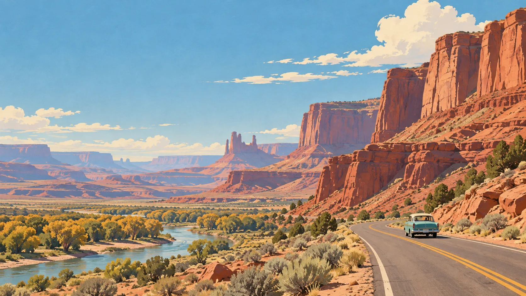


California: what to expect
San Francisco, the coast, Los Angeles, redwoods and Yosemite can form several routes. Choose a section and watch seasonal road access. This travel base guide groups the destination into six useful areas so the stay works on the ground, not only on a country map.
Is this your trip?
Who California is for
Road trips travellers
San Francisco, the coast, Los Angeles, redwoods and Yosemite can form several routes. Choose a section and watch seasonal road access.
Travellers with 10–14 days
That window gives California enough room for one anchor area and one contrasting cluster per day.
Culture and neighbourhood scale
Los Angeles basin and Highway 1 make that interest practical rather than a country-level promise.
Area-led planners
Six fixed clusters make it easier to choose a base and avoid repeated cross-destination transfers.
Maybe not for you: A compressed checklist is the weak version of California. Treat the suggested stay as time on the ground: weather, timed entry, ferries or mountain roads can remove half a day.
Season by season
When to visit California
April–June and September–October. Rounded Mediterranean planning normals: hot dry summers and mild, wetter winters. Conditions can still change sharply by elevation, coast and exposure, so use the chart for route timing and the current forecast for the day itself.
- Best
Spring
March–May
Mild days, green landscapes and rising demand around holidays.
- Mixed
Summer
June–August
Hot, bright and busy; shade and early starts materially improve city days.
- Best
Autumn
September–November
Warm early weeks, softer light and rain returning later in the season.
- Good
Winter
December–February
Cooler and wetter, with shorter hours but much lighter visitor pressure.
Weather · monthly normals
Rounded Mediterranean planning normals: hot dry summers and mild, wetter winters. Values are rounded planning normals rather than a live forecast.
Do fewer things better
Things to do in California
A short, ordered set of experiences with the timing or planning catch that makes each one work.
- 1
Start with San Francisco Bay
San Francisco Bay
Transit, food and water around a compact northern city
- 2
Walk Los Angeles basin without stacking it
Los Angeles basin
Museums, food and coast separated by serious traffic
- 3
Use Highway 1 for coast and road trip
Highway 1
Cliff route dependent on landslide closures
- 4
Give Yosemite & Sierra a deliberate half-day
Yosemite & Sierra
Seasonal passes, shuttle systems and high demand
- 5
See Redwood coast outside peak hours
Redwood coast
Northern groves far from the main city circuit
- 6
Keep San Diego & desert edge weather-flexible
San Diego & desert edge
Beaches, border culture and inland dry landscapes
Treat the suggested stay as time on the ground: weather, timed entry, ferries or mountain roads can remove half a day.
Area by area
The areas of California
The map is deliberately static and schematic: enough geography to choose a base and group a day, without loading a public mapping service.
| Area | What it is like | Why go |
|---|---|---|
1 San Francisco Bay urban first base | Transit, food and water around a compact northern city | Use San Francisco Bay when urban first base matters more than crossing the whole destination. |
2 Los Angeles basin culture and neighbourhood scale | Museums, food and coast separated by serious traffic | Use Los Angeles basin when culture and neighbourhood scale matters more than crossing the whole destination. |
3 Highway 1 coast and road trip | Cliff route dependent on landslide closures | Use Highway 1 when coast and road trip matters more than crossing the whole destination. |
4 Yosemite & Sierra mountains and reservations | Seasonal passes, shuttle systems and high demand | Use Yosemite & Sierra when mountains and reservations matters more than crossing the whole destination. |
5 Redwood coast forest and quiet roads | Northern groves far from the main city circuit | Use Redwood coast when forest and quiet roads matters more than crossing the whole destination. |
6 San Diego & desert edge warm coast and contrast | Beaches, border culture and inland dry landscapes | Use San Diego & desert edge when warm coast and contrast matters more than crossing the whole destination. |
Choose the base, then the hotel
Where to stay in California
For most first visits: San Francisco Bay for urban first base.
San Francisco Bay
Transit, food and water around a compact northern city Choose it when that trade-off should shape mornings and evenings.
Los Angeles basin
Museums, food and coast separated by serious traffic Choose it when that trade-off should shape mornings and evenings.
Highway 1
Cliff route dependent on landslide closures Choose it when that trade-off should shape mornings and evenings.
Yosemite & Sierra
Seasonal passes, shuttle systems and high demand Choose it when that trade-off should shape mornings and evenings.
Order with a point of view
What to eat in California
Local food is more useful as an area decision than as a checklist of famous dishes.
- 01
Neighbourhood diner or counter
San Francisco Bay
The useful American meal is often a specialist breakfast, sandwich or plate served without ceremony
- 02
Migration-shaped local food
Los Angeles basin
Ask which community built the dish and seek kitchens still connected to it
- 03
Regional barbecue or seafood
Highway 1
Style, wood, coast and season matter; there is no single national version
- 04
Farmers-market stop
Yosemite & Sierra
Seasonal produce helps explain the region and makes a road day less dependent on chains
- 05
Local beer, soda or coffee
Redwood coast
Independent drinks can map a place without making alcohol the itinerary
Useful on the ground
Local tips for California
Plan the transfer, not only the distance
Treat the suggested stay as time on the ground: weather, timed entry, ferries or mountain roads can remove half a day.
Visa and entry
Many visitors need ESTA or a visa before travel. Rules depend on nationality and trip history; use official US government guidance before booking.
Money and cards
Cards are widely accepted, but tips, taxes and deposits matter. Keep a backup card and some cash for parks, small towns and laundry.
SIM and data
Coverage is strong in cities and along main roads, with large dead zones in parks and the west. Download offline maps and park information.
Plugs and power
The US uses 120 V and type A or B sockets. European, UK and Australian travellers need an adapter and some devices need voltage support.
Common questions
Quick answers about California
- When is the best time to visit California?
- April–June and September–October. Rounded Mediterranean planning normals: hot dry summers and mild, wetter winters. Conditions can still change sharply by elevation, coast and exposure, so use the chart for route timing and the current forecast for the day itself.
- How many days do you need in California?
- 10–14 days. San Francisco, the coast, Los Angeles, redwoods and Yosemite can form several routes. Choose a section and watch seasonal road access. This travel base guide groups the destination into six useful areas so the stay works on the ground, not only on a country map.
- Where should you stay in California?
- San Francisco Bay for urban first base. Transit, food and water around a compact northern city Choose it when that trade-off should shape mornings and evenings.
Keep building the route
California is part of United States
Use the country guide for visa, money, long-distance transport and the route between cities. Then compare the other worked-out stops below.